Rapid
MI
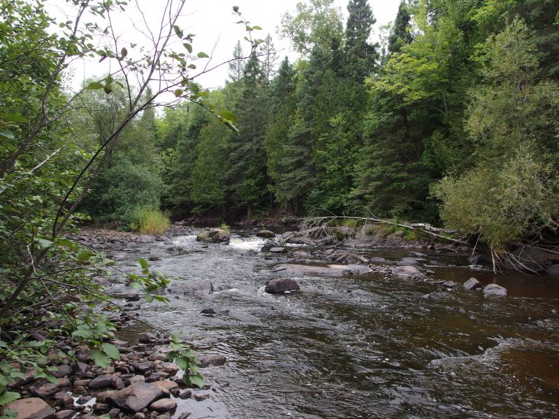
Confluence, Little Black
Save this feature with the run it belongs to.
Gauge Conditions
Runnable: ? – ? CFS
Approximate - nearest available gauge. Use as general reference only.
Data from American Whitewater & USGS
Photo
Photo courtesy of American Whitewater
Description
At the confluence of the Black and Little Black Rivers, paddlers encounter a potential route change and potential flow variations as the tributary enters from river-right. While specific difficulty is not rated, boaters should be attentive to potential hydraulic shifts, potential increased volume, and any debris or sediment introduced by the Little Black River's inflow.
Location


View Full Run
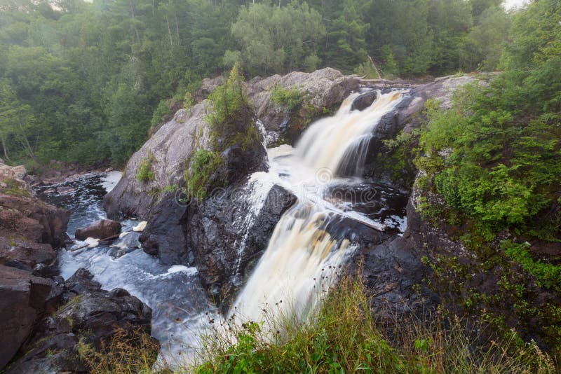
B) Upper: Ramsey (Mill St) to Gabbro (Baker) Falls (2.42 miles)
Black
II-III
2.4 mi
Current Conditions
5-Day Forecast
Whitewater data from
American Whitewater
American Whitewater