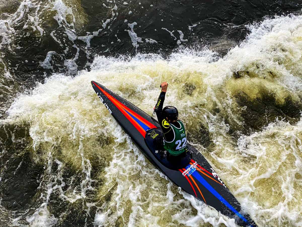
Rapid
MI
Main Street / USGS Sampling Site
Save this feature with the run it belongs to.
Gauge Conditions
Runnable: ? – ? CFS
Approximate - nearest available gauge. Use as general reference only.
Data from American Whitewater & USGS
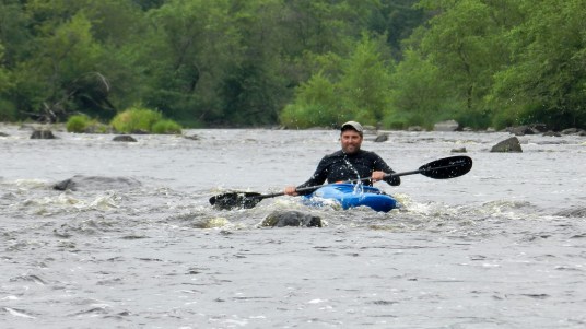
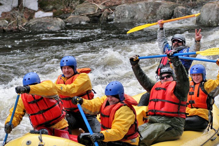
Photo
Photo courtesy of American Whitewater
Description
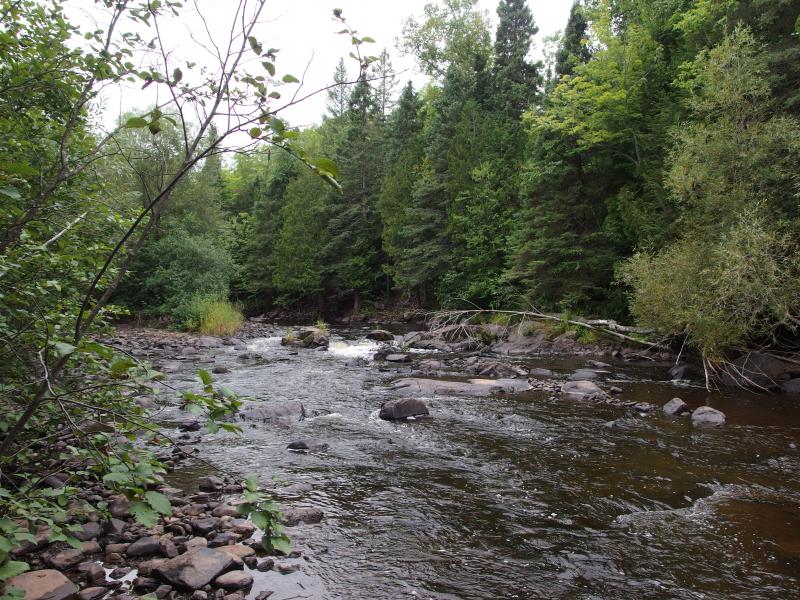
As the river heads toward Main Street, it passes under former rail line and is squeezed between cement walls, tripping across some waves and holes.
USGS lists a 'sampling site' (used for thirteen occasions from 1921-1976) and shows drainage at this point as 78 square miles.
Location
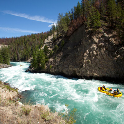
View Full Run
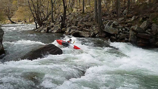
B) Upper: Ramsey (Mill St) to Gabbro (Baker) Falls (2.42 miles)
Black
II-III
2.4 mi
Current Conditions
5-Day Forecast
Whitewater data from
American Whitewater
American Whitewater