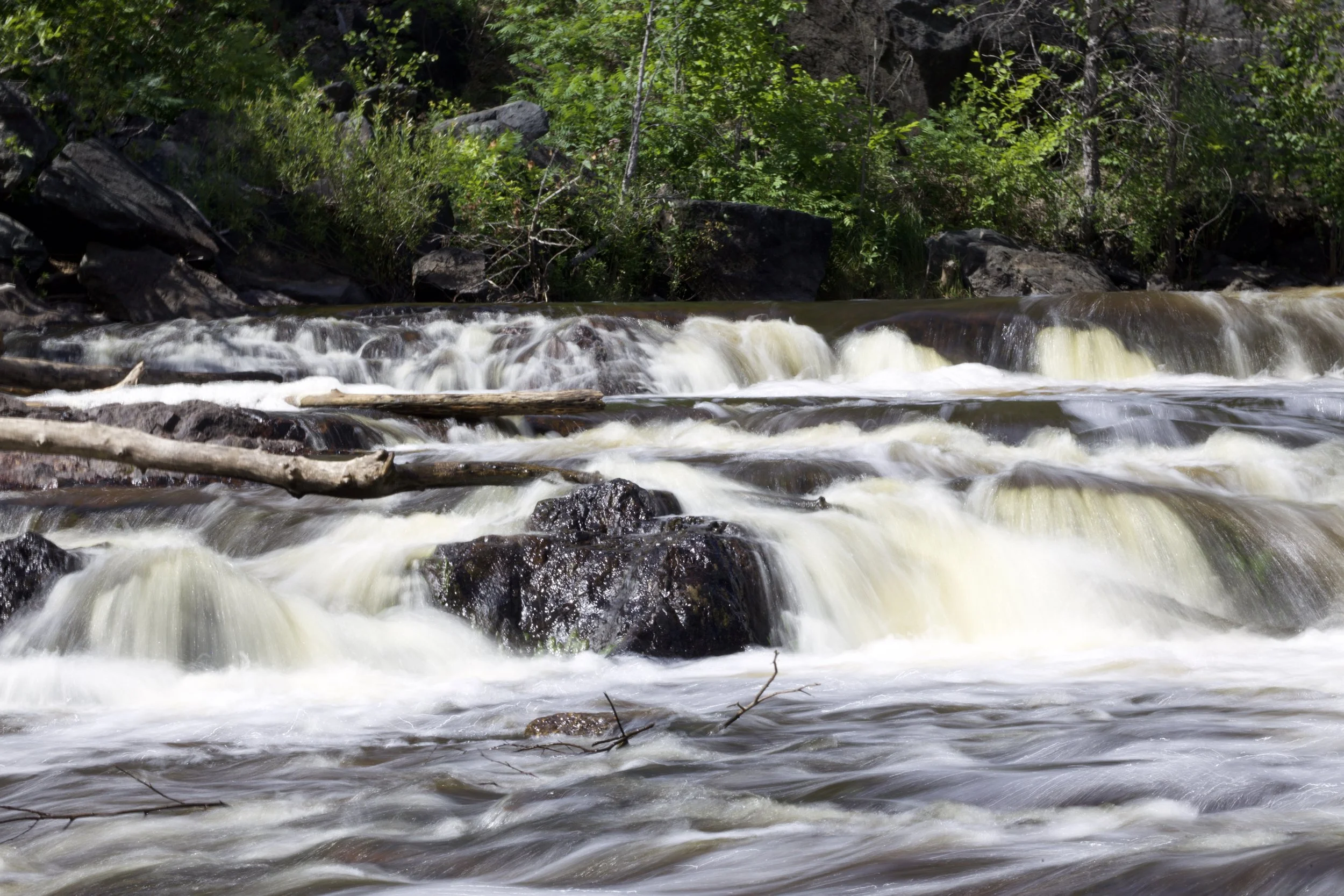
Rapid
MI
Confluence, Perch River
Save this feature with the run it belongs to.
Gauge Conditions
Runnable: 400.0 – 2,000.0 CFS
Almost certainly too low.
Data from American Whitewater & USGS
Photo
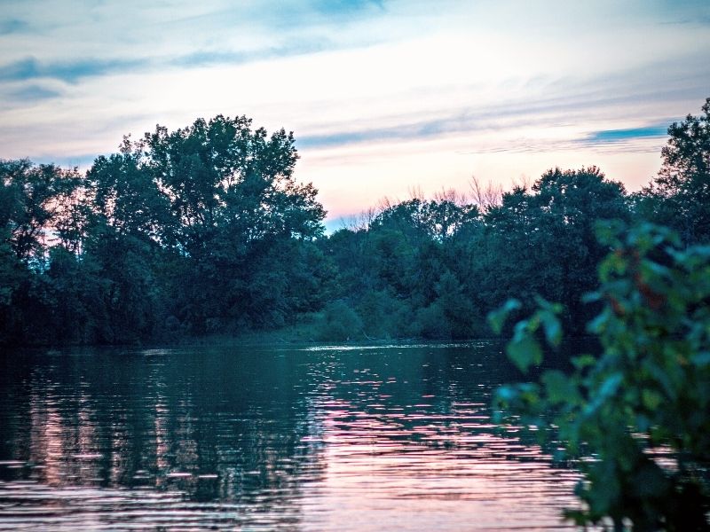
Photo courtesy of American Whitewater
Description
At the confluence of the Perch River, paddlers encounter a complex merging point with potential hydraulic interactions and shifting water dynamics. The entry requires careful navigation as the river-left Perch River introduces additional flow and potential turbulence, demanding precise boat positioning and awareness of potential cross-currents. While specific difficulty is unrated, paddlers should anticipate potential technical challenges at this river junction and maintain heightened situational awareness.
Location
Interactive river map
Loads as you approach this section.

View Full Run
D) Tibbets Falls: Plains Rd to Sturgeon Gorge Rd (0.2 up to 7.5 miles)
Sturgeon (Baraga)
I-II(IV)
7.3 mi
Current Conditions
5-Day Forecast
Whitewater data from
American Whitewater
American Whitewater