Put-in
MI
Put In
Save this feature with the run it belongs to.
Gauge Conditions
Runnable: 400.0 – 2,000.0 CFS
Almost certainly too low.
Data from American Whitewater & USGS
Photo
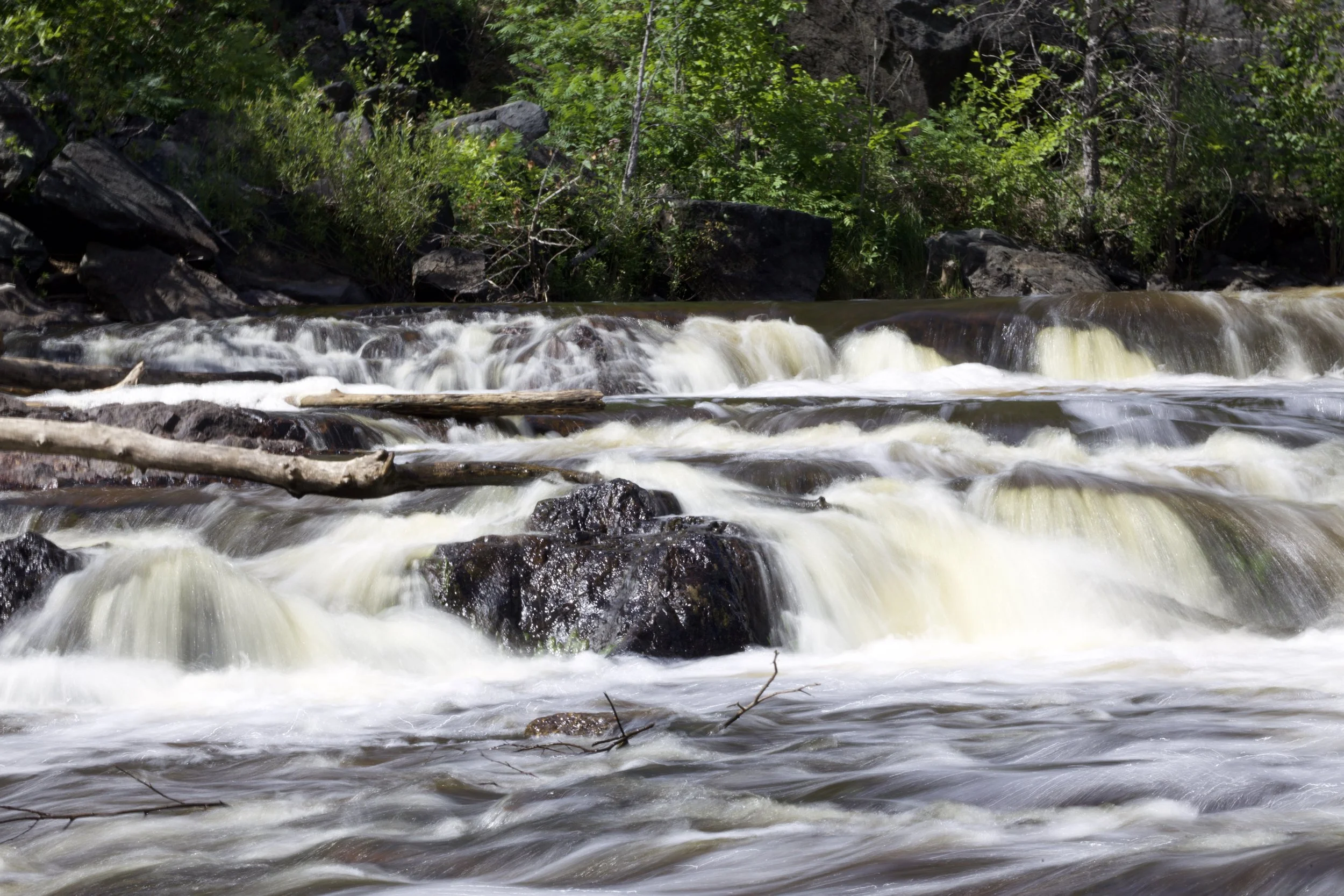
Photo courtesy of American Whitewater
Description
Put In is the starting point for the Sturgeon River section below Plains Road, offering paddlers immediate entry into a remote and technical stretch of river. While specific details about this rapid's characteristics are limited, the nearby Tibbets Falls section suggests complex navigation with potential ledges, tight channels, and potential obstacles requiring precise boat positioning and skilled maneuvering.
Location
Interactive river map
Loads as you approach this section.
View Full Run
D) Tibbets Falls: Plains Rd to Sturgeon Gorge Rd (0.2 up to 7.5 miles)
Sturgeon (Baraga)
I-II(IV)
7.3 mi
Current Conditions
5-Day Forecast
Whitewater data from
American Whitewater
American Whitewater