Take-out
MI
Take Out
Save this feature with the run it belongs to.
Gauge Conditions
Runnable: 400.0 – 2,000.0 CFS
Almost certainly too low.
Data from American Whitewater & USGS
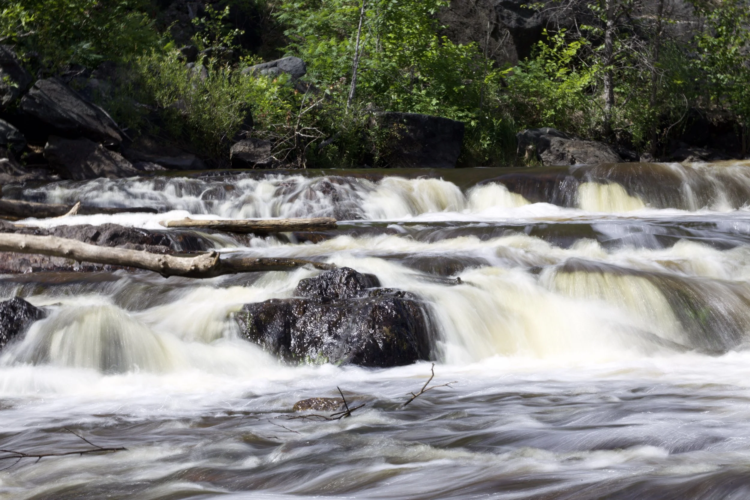
Photo

Photo courtesy of American Whitewater
Description
Take Out rapid marks the end of the Tibbets Falls section, serving as a critical transition point for paddlers completing this stretch of the Sturgeon River. The rapid's characteristics and specific challenges are unclear from available data, suggesting paddlers should scout carefully and be prepared for potential unmarked hazards or varied water conditions typical of this Michigan river section.
Location
Interactive river map
Loads as you approach this section.
View Full Run
D) Tibbets Falls: Plains Rd to Sturgeon Gorge Rd (0.2 up to 7.5 miles)
Sturgeon (Baraga)
I-II(IV)
7.3 mi
Current Conditions
5-Day Forecast
Whitewater data from
American Whitewater
American Whitewater