Take-out
CA
Crocker-Huffman Dam, take out
Save this feature with the run it belongs to.
Gauge Conditions
Runnable: ? – ? CFS
Approximate - nearest available gauge. Use as general reference only.
Data from American Whitewater & USGS
CDEC Flow Data California
Data from California Data Exchange Center (CDEC)
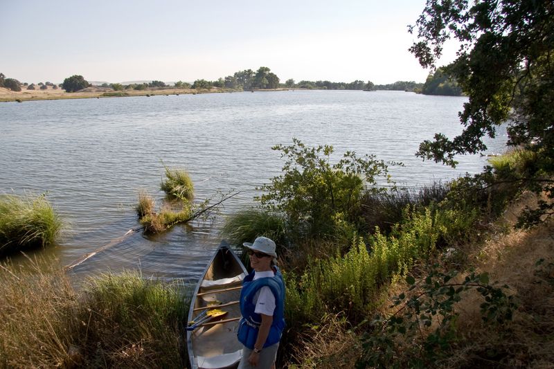
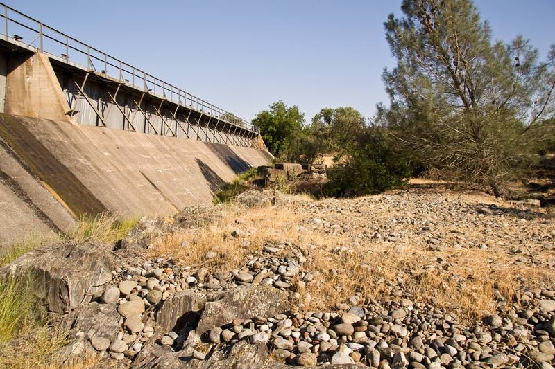
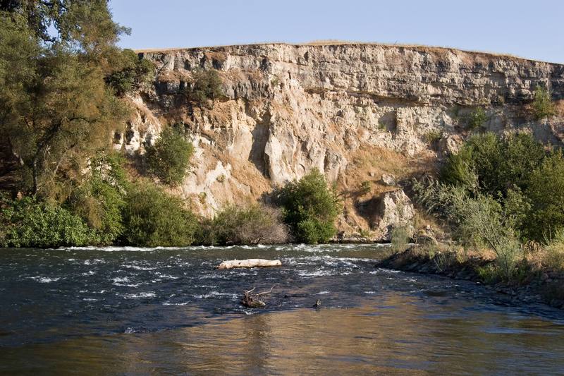
Photo
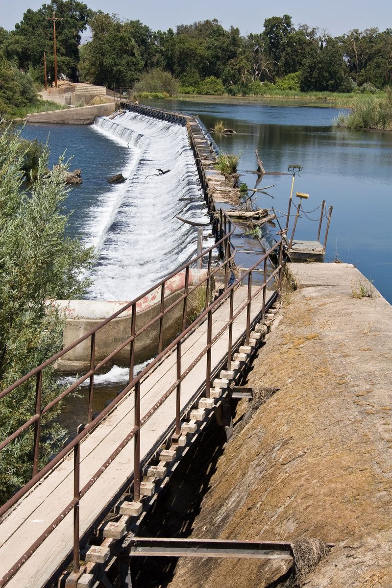
Photo courtesy of American Whitewater
Description
This long low dam is visible from above as a wide horizon line across the reservoir. Paddle over to the far river right to take out or portage. From the dam to a parking area is about 1/4 mile of walking.
To portage, either
1) Go over the berm and bushwack to the river.
2) Lower boats down the face of the dam.
3) Walk down the walls of the fish ladder, visible as a low angle ramp.
Typically very little water is released over the dam into the river. Most of the water in this reach is diverted into the Merced Main Canal, just upstream on river left.
Location
View Full Run
7) Merced Falls to Snelling Diversion Dam
Merced
I
3.5 mi
Current Conditions
5-Day Forecast
Whitewater data from
American Whitewater
American Whitewater