Portage
CA
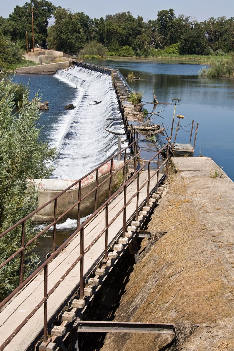
Portage Route: Merced Falls Dam
Save this feature with the run it belongs to.
Gauge Conditions
Runnable: ? – ? CFS
Approximate - nearest available gauge. Use as general reference only.
Data from American Whitewater & USGS
CDEC Flow Data California
Data from California Data Exchange Center (CDEC)
Photo
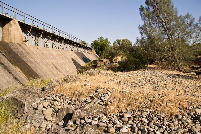
Photo courtesy of American Whitewater
Description
The portage can start pretty close to the edge of the dam. There is a flattish spot in the reeds, just upstream of a fence guarding the dam. Carry over the levee, then down a steep bank. Follow vehicle path along the base of the dam to an easy put in.
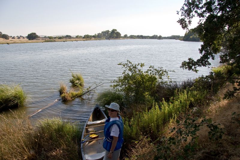
Below here the river is wide and mostly flat, but usually with steady current. At high summer flows there are two riffles in this first half of the run. At low flows a couple more small riffles are revealed.
Location
View Full Run
7) Merced Falls to Snelling Diversion Dam
Merced
I
3.5 mi
Portage recommended — Scout before running and consider carrying around this feature.
Current Conditions
5-Day Forecast
Whitewater data from
American Whitewater
American Whitewater