Hazard
UT
Diversion Drop
Save this feature with the run it belongs to.
Gauge Conditions
Runnable: ? – ? CFS
Approximate - nearest available gauge. Use as general reference only.
Data from American Whitewater & USGS
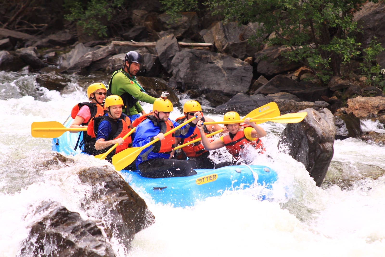
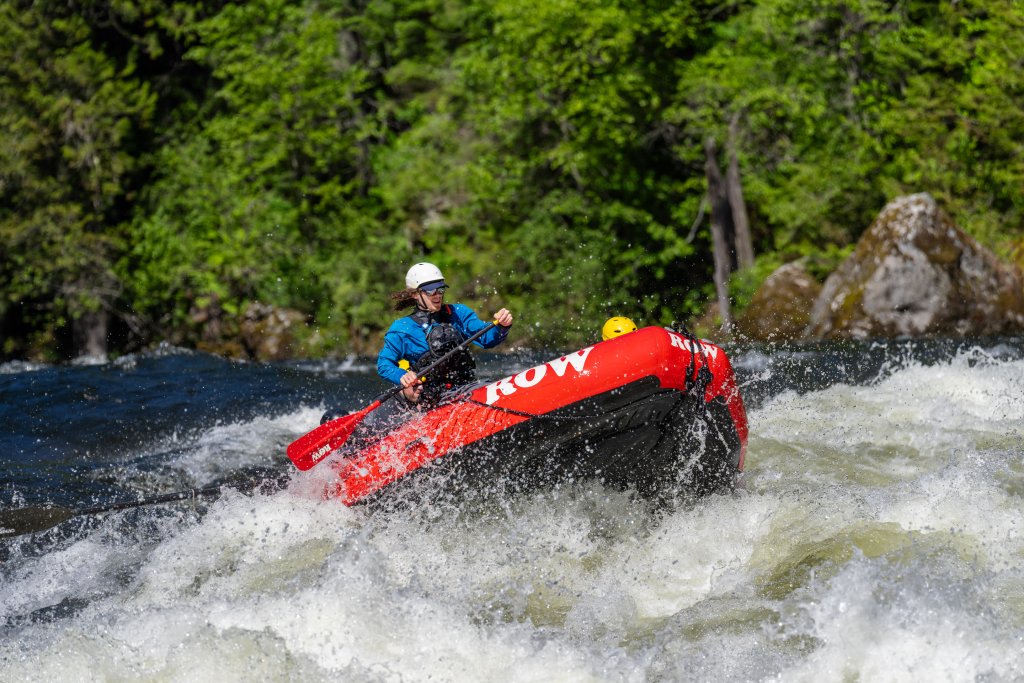
Photo
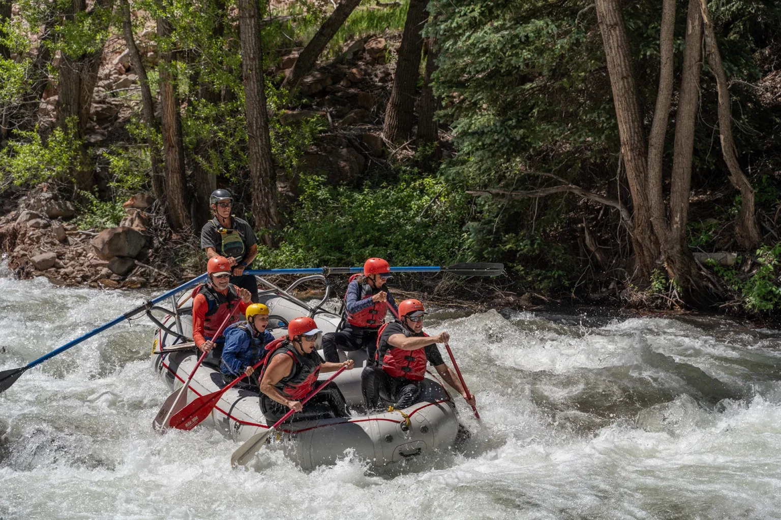
Photo courtesy of American Whitewater
Description
This is a Diversion Dam, It has been run, good chance there could be wood, it is very short maybe 6' tall.
Location


View Full Run
01. Joe's Valley Reservoir to Route 29 (Straight Canyon)
Cottonwood Creek (Joes)
III-IV
8.0 mi
Hazard — Exercise extreme caution in this area.
Current Conditions
5-Day Forecast
Whitewater data from
American Whitewater
American Whitewater