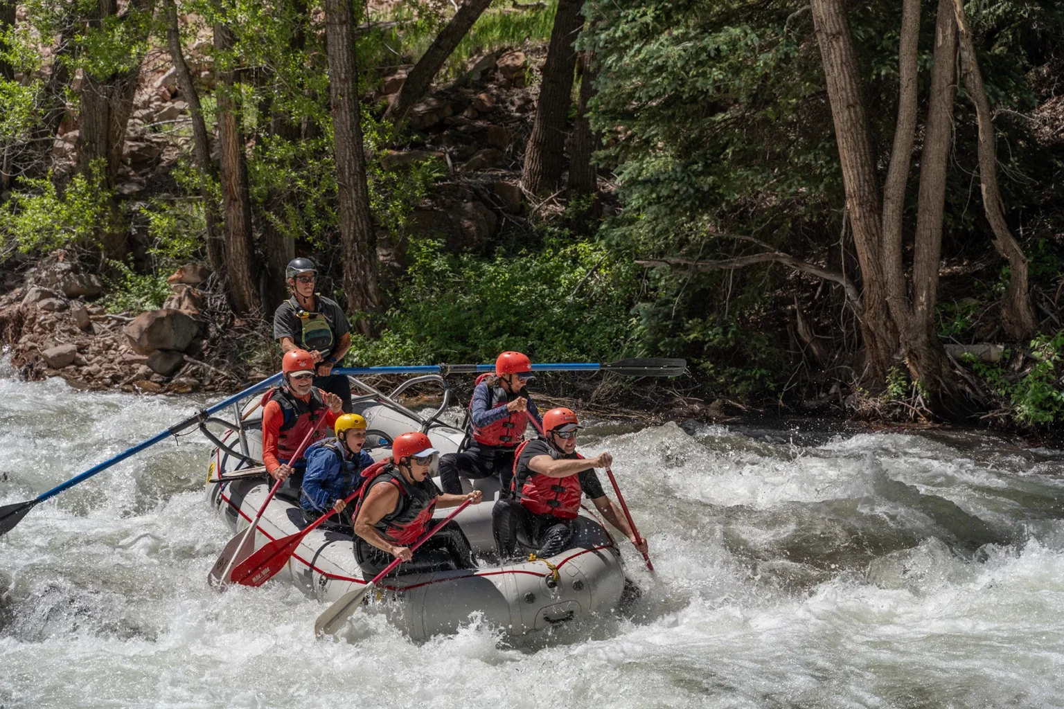
S-Turn
Save this feature with the run it belongs to.
Gauge Conditions
Runnable: ? – ? CFS
Approximate - nearest available gauge. Use as general reference only.
Data from American Whitewater & USGS
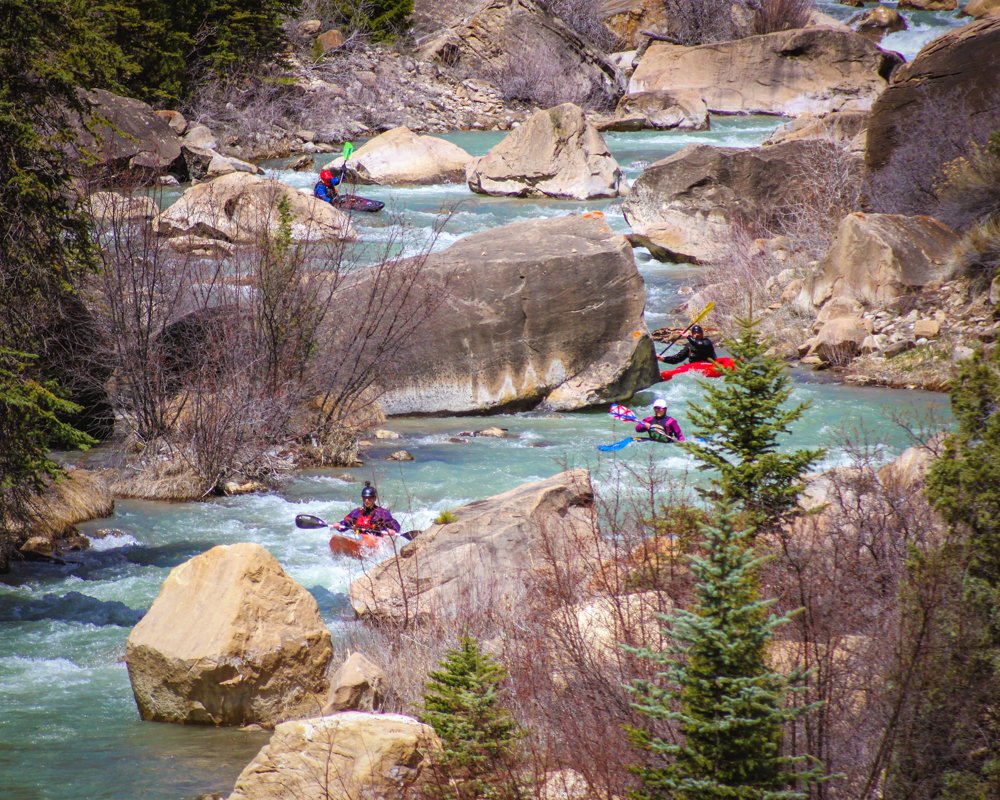
Photo
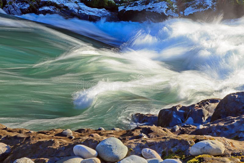
Photo courtesy of American Whitewater
Description
S-Turn Rapid, This is just like the name says, it is an S-turn. At lower flows. 250-300 it is pretty straight forward, Watch your edges with the switching currents, it spins a lot of people around and they finish the rapid backwards.
At Higher flows 300+ a Sieve forms on the right side. So Stay left away from the Right rocks, On one of the trips we had two seperate individuals get stuck in there.
Location

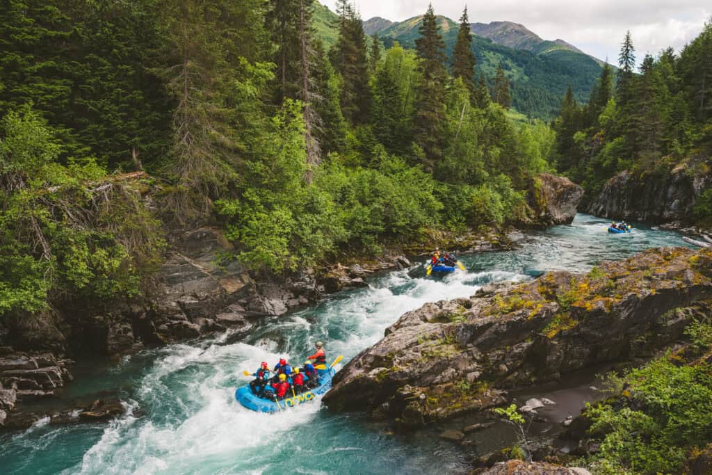


View Full Run
01. Joe's Valley Reservoir to Route 29 (Straight Canyon)
Cottonwood Creek (Joes)
III-IV
8.0 mi
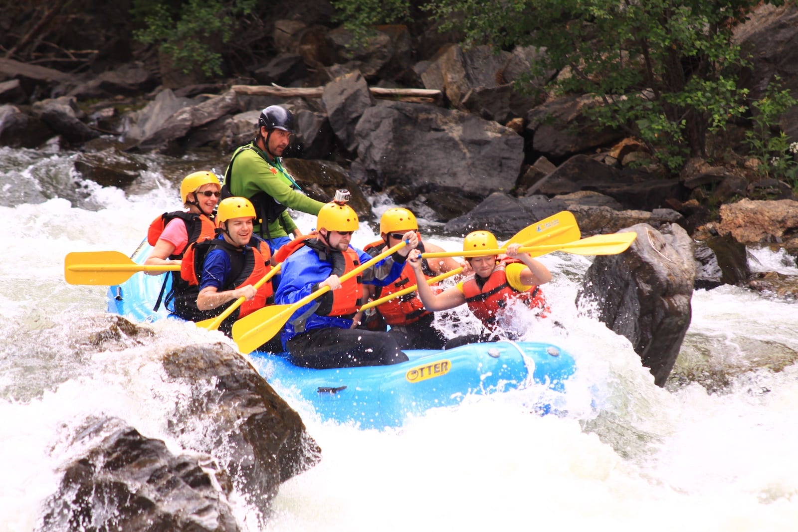
Hazard — Exercise extreme caution in this area.
Current Conditions
5-Day Forecast
Whitewater data from
American Whitewater
American Whitewater