Take-out
UT
Take Out
Save this feature with the run it belongs to.
Gauge Conditions
Runnable: ? – ? CFS
Approximate - nearest available gauge. Use as general reference only.
Data from American Whitewater & USGS
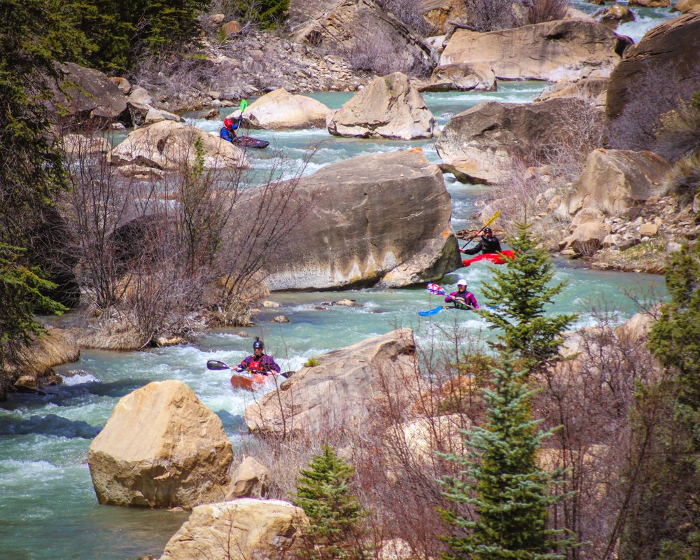
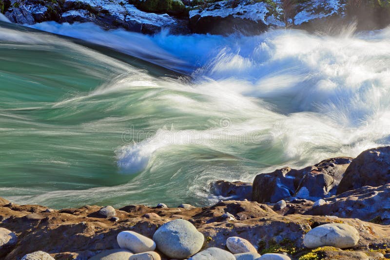
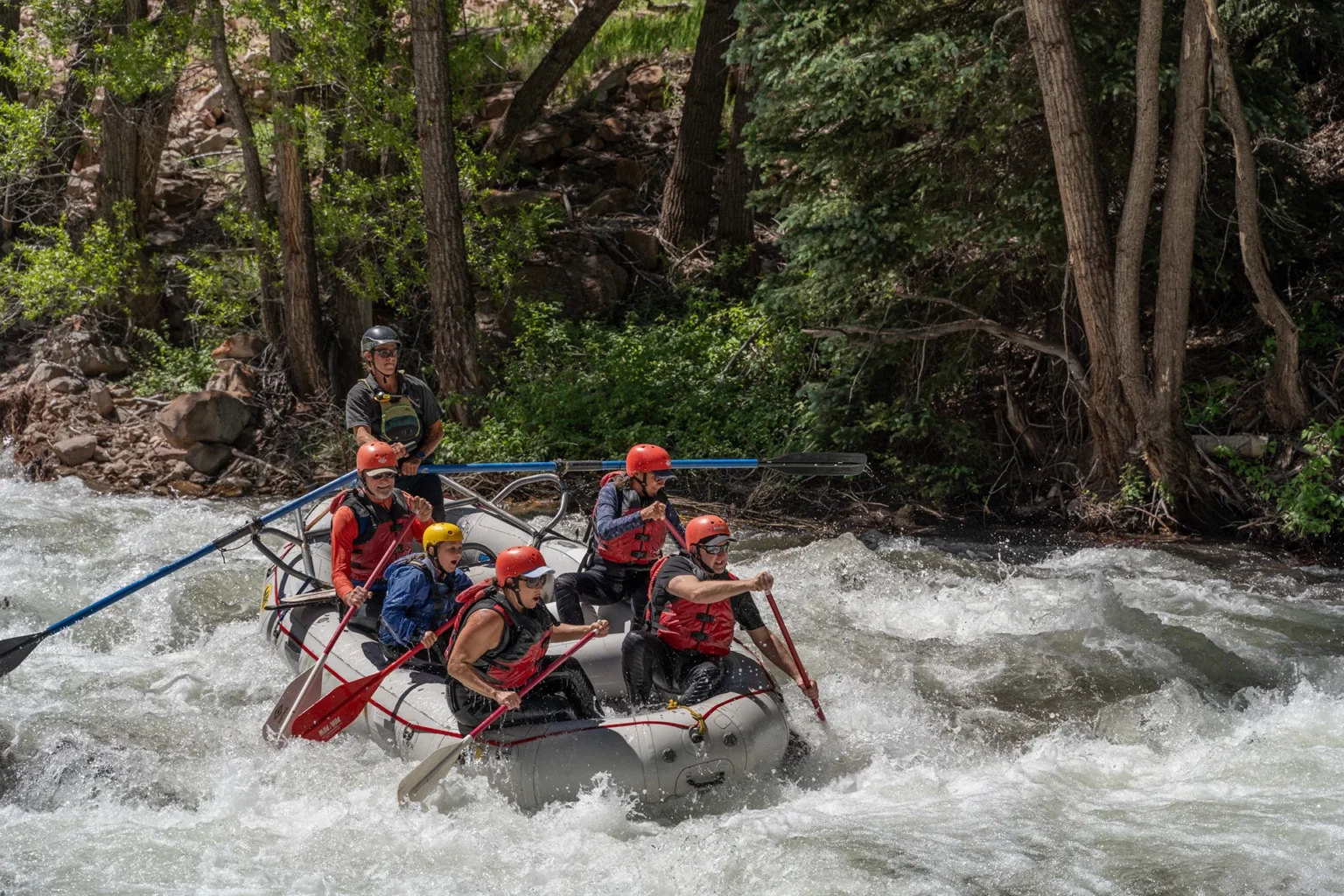
Photo

Photo courtesy of American Whitewater
Description
Take Out marks the end of this section of Cottonwood Creek, characterized by a transition zone where paddlers need to carefully navigate shifting water conditions and potential debris near the route 29 bridge. While specific technical details are limited, boaters should be prepared for potential shallow areas, submerged obstacles, and the need for precise maneuvering when exiting the river at this point.
Location


View Full Run
01. Joe's Valley Reservoir to Route 29 (Straight Canyon)
Cottonwood Creek (Joes)
III-IV
8.0 mi
Current Conditions
5-Day Forecast
Whitewater data from
American Whitewater
American Whitewater