Double-drop Dells
Save this feature with the run it belongs to.
Gauge Conditions
Runnable: ? – ? CFS
Approximate - nearest available gauge. Use as general reference only.
Data from American Whitewater & USGS
Photo
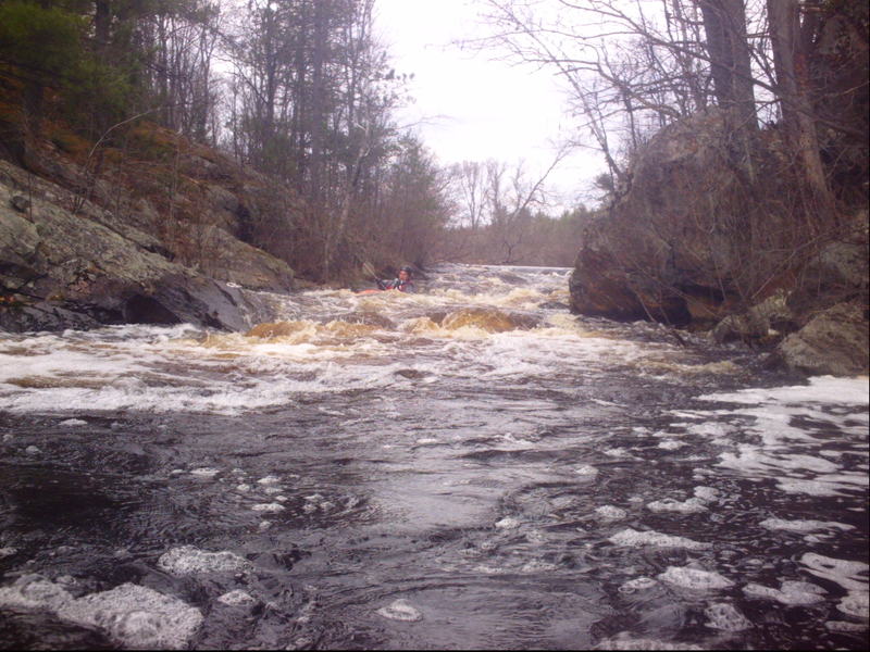
Photo courtesy of American Whitewater
Description
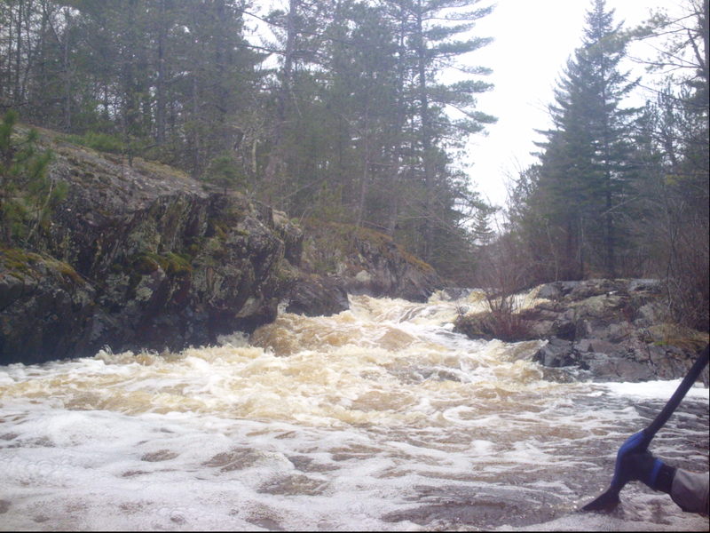
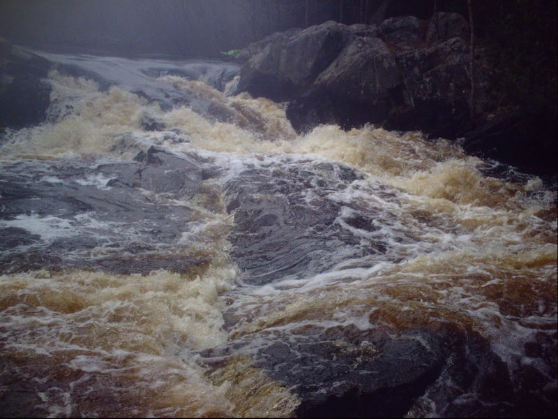
The final 'significant' drop (though much less consequential than the middle pair of drops) comes where a mini-dells constricts the river. A couple of pitches/waves precede the pool below. (Note: Exact location uncertain. The resolution on maps.google.com is not adequate and my recollection is not sufficient to place this accurately.)
Location
Interactive river map
Loads as you approach this section.
Other Rapids on This Run (6)

View Full Run
A) Old County A to primitive camp off FR510
Pike, South Branch
II-III
4.7 mi
Current Conditions
5-Day Forecast
Whitewater data from
American Whitewater
American Whitewater