Horseshoe Falls
Save this feature with the run it belongs to.
Gauge Conditions
Runnable: ? – ? CFS
Approximate - nearest available gauge. Use as general reference only.
Data from American Whitewater & USGS
Photo
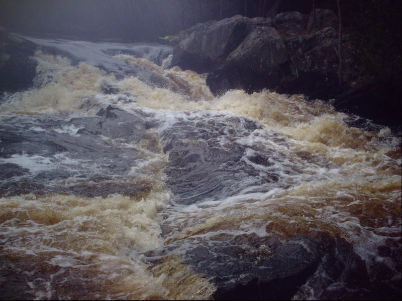
Photo courtesy of American Whitewater
Description
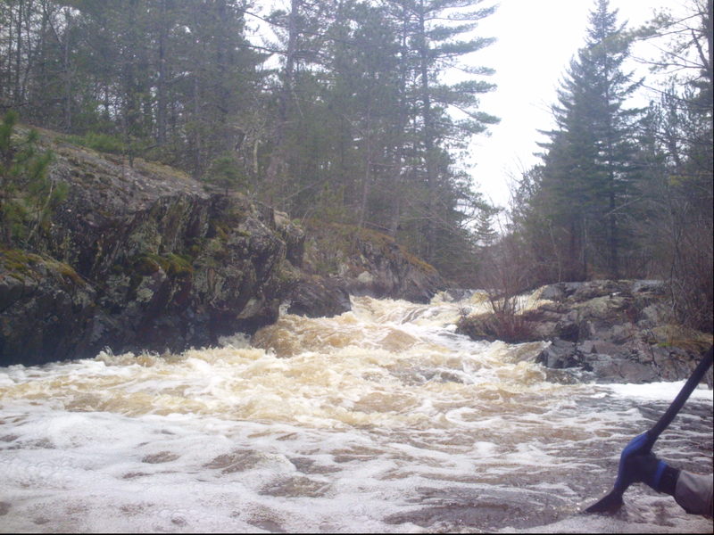
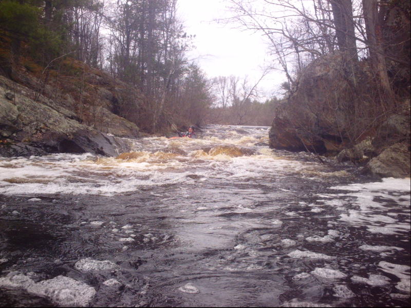
Having been flowing mostly west-to-east, the river will do a big zig-zag, south-east, then north-to-northeast, around a hairpin to south-west, and to south-east again. Not far beyond, it will sweep around a horseshoe bend, dropping down a fine sliding falls as it does so. Get out to scout (river-left) to see the assortment of ledges and rocks which lay around the bend beyond the falls proper, ready to trip you up (should the falls and bend not be sufficient to do so first).
Location
Interactive river map
Loads as you approach this section.
Other Rapids on This Run (6)
View Full Run
A) Old County A to primitive camp off FR510
Pike, South Branch
II-III
4.7 mi
Current Conditions
5-Day Forecast
Whitewater data from
American Whitewater
American Whitewater