Split Falls
Save this feature with the run it belongs to.
Gauge Conditions
Runnable: ? – ? CFS
Approximate - nearest available gauge. Use as general reference only.
Data from American Whitewater & USGS
Photo
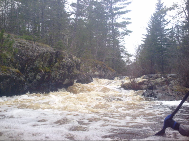
Photo courtesy of American Whitewater
Description
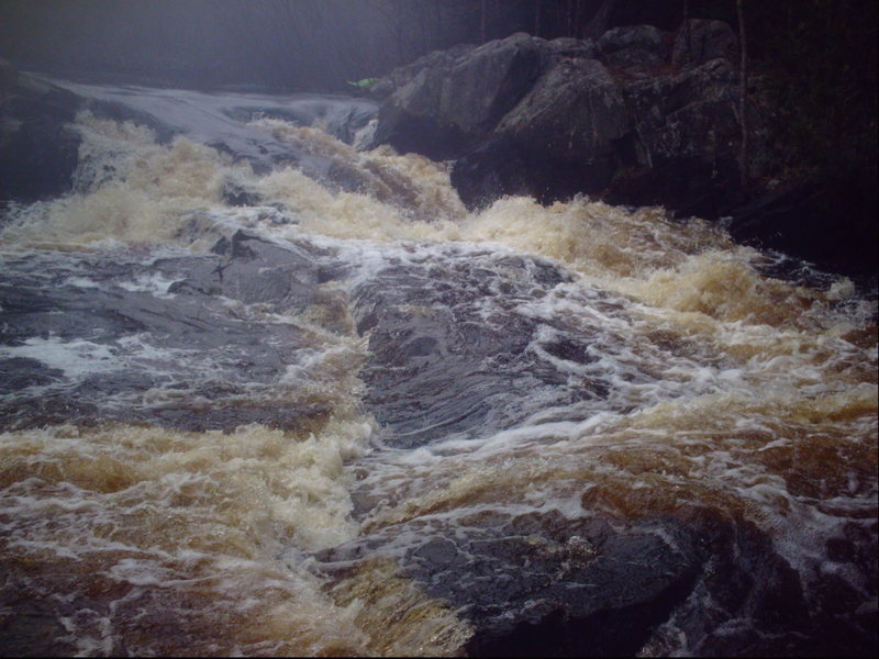
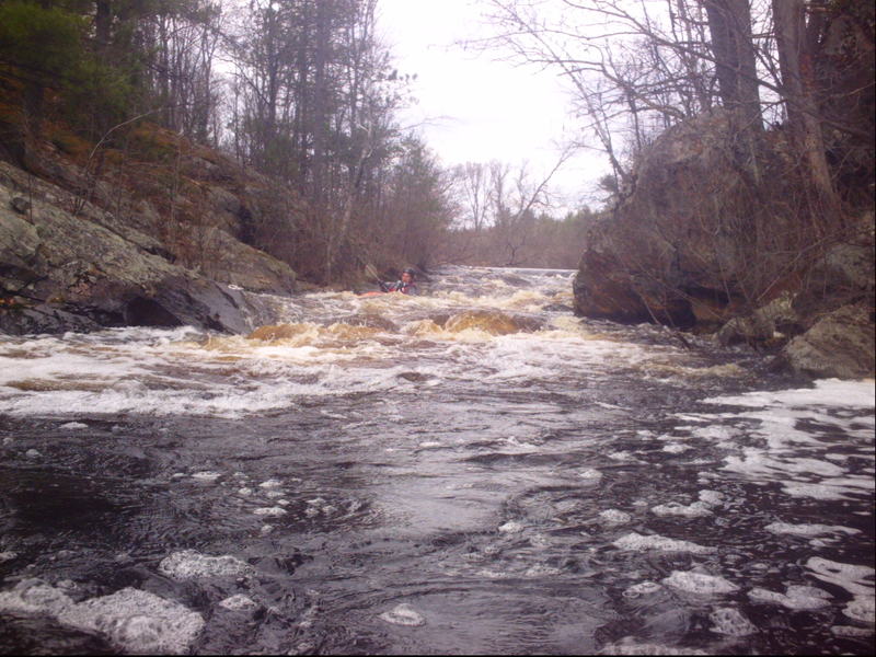
Yes, it's a rather long stretch of flatwater from the put-in sequence to the next significant drop. Hopefully you can enjoy the up-north scenery along that way. As you come to a power-line clearing you will soon encounter some minor boulder-bed rapids. Not far downstream, a rock/island splits the flow and you'll find a horizon line. Scout (river-right). This split falls should delight most intermediate whitewater paddlers.
Location
Interactive river map
Loads as you approach this section.

View Full Run
A) Old County A to primitive camp off FR510
Pike, South Branch
II-III
4.7 mi
Current Conditions
5-Day Forecast
Whitewater data from
American Whitewater
American Whitewater