Rapid
IL
Drainage: 63 sq.mi.
Save this feature with the run it belongs to.
Gauge Conditions
Runnable: 1,600.0 – 99,999.0 CFS
Likely less than 100 cfs ... Likely way too low to boat. (Please use "Reports" to help define/refine ranges!)
Runnable: 12.0 – 18.0 FT
Most likely very low. Must be confirmed by visual inspection.
Data from American Whitewater & USGS
Photo
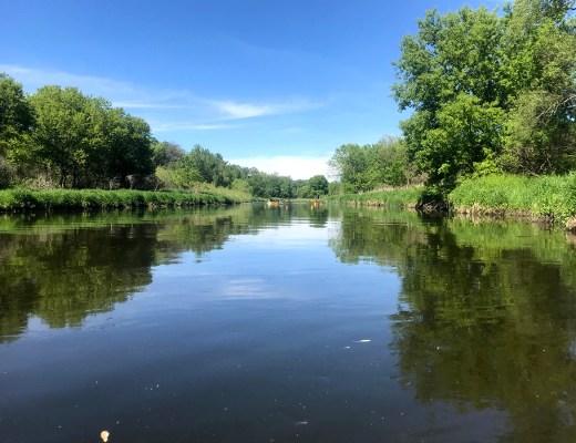
Photo courtesy of American Whitewater
Description
Drainage area at our listed put-in is approximately 63 sq.mi. (as calculated via USGS StreamStats Beta software).
Location
Interactive river map
Loads as you approach this section.
Other Rapids on This Run (12)




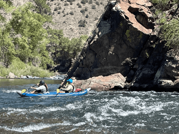
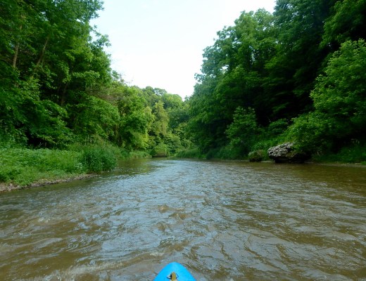
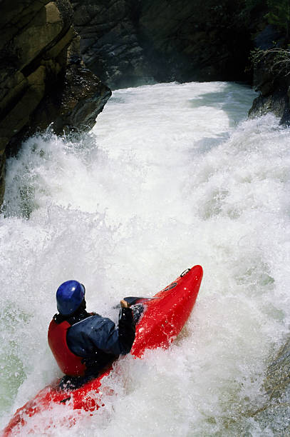
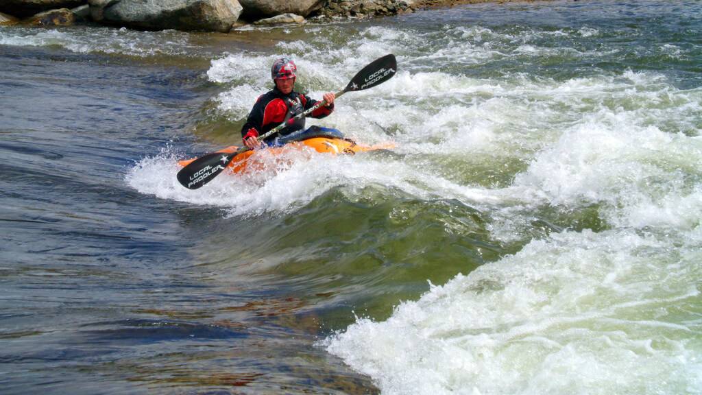

View Full Run
E1800 (E.18th Rd.) to Hwy.71 (6.5 miles)
Covel Creek
II(III)
6.5 mi
Current Conditions
5-Day Forecast
Whitewater data from
American Whitewater
American Whitewater