Rapid
IL
Powerline
Save this feature with the run it belongs to.
Gauge Conditions
Runnable: 1,600.0 – 99,999.0 CFS
Likely less than 100 cfs ... Likely way too low to boat. (Please use "Reports" to help define/refine ranges!)
Runnable: 12.0 – 18.0 FT
Most likely very low. Must be confirmed by visual inspection.
Data from American Whitewater & USGS
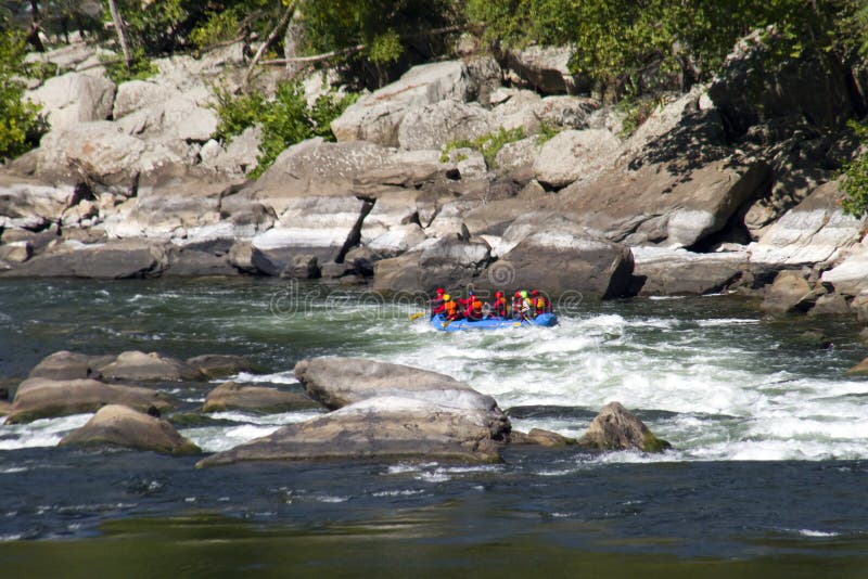
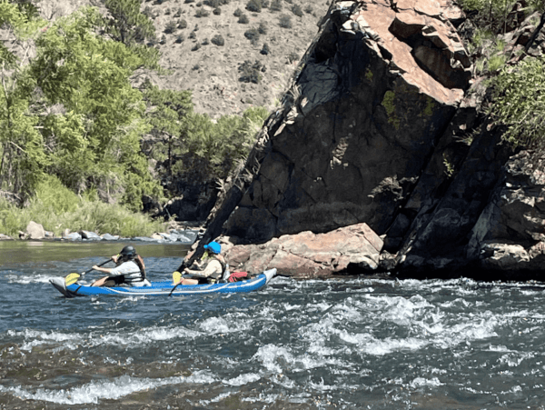
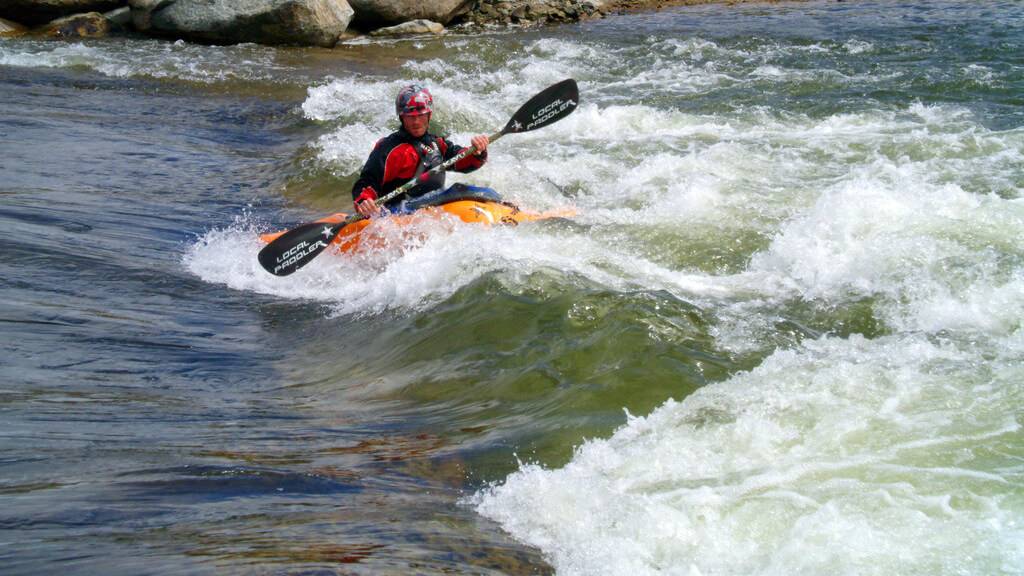
Photo
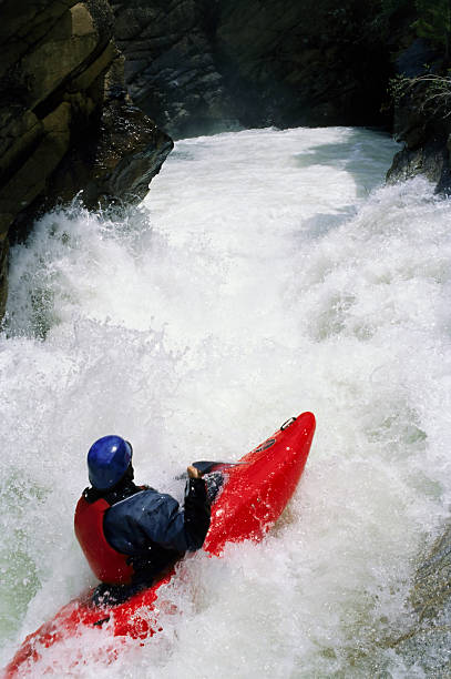
Photo courtesy of American Whitewater
Description
Powerline rapid presents a tight, technical descent with a series of closely spaced hydraulic features that demand precise boat positioning and momentum. The primary line runs along the river's right side, threading between two prominent mid-stream boulders that create converging currents and potential pin hazards, requiring paddlers to maintain a clean, controlled approach.
Location
Other Rapids on This Run (12)


View Full Run
E1800 (E.18th Rd.) to Hwy.71 (6.5 miles)
Covel Creek
II(III)
6.5 mi
Current Conditions
5-Day Forecast
Whitewater data from
American Whitewater
American Whitewater