Rapid
WI
End gradient / begin backwaters
Save this feature with the run it belongs to.
Gauge Conditions
Runnable: 200.0 – 1,800.0 CFS
Likely quite low. Possible E.L.F. (Extreme Low Flow) entertainment at a few locations. Flatwater will be paddle-able.
Data from American Whitewater & USGS
Description
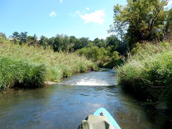
At this point, the river is backwatered from dams in Hudson forming Lake Mallalieu. Substantial braiding, sandbars, and treed islands will occur, obscuring the main channel.
If you zoom in on (at least some) aerial/satellite views at this location (at least in the present views, spring 2017), you may see a few kayaks which appear to be beached on a sandbar or mud bank.
We leave it to the intrepid explorer to find their best choice of landing if proceding this far downriver.
Location
View Full Run
C) Little Falls Dam to Trout Brook Road (1.85 miles) ** State Park Fee **
Willow
I(II)
1.7 mi
Current Conditions
5-Day Forecast
Whitewater data from
American Whitewater
American Whitewater