Put-in
WI
Put In
Save this feature with the run it belongs to.
Gauge Conditions
Runnable: 200.0 – 1,800.0 CFS
Likely quite low. Possible E.L.F. (Extreme Low Flow) entertainment at a few locations. Flatwater will be paddle-able.
Data from American Whitewater & USGS
Photo
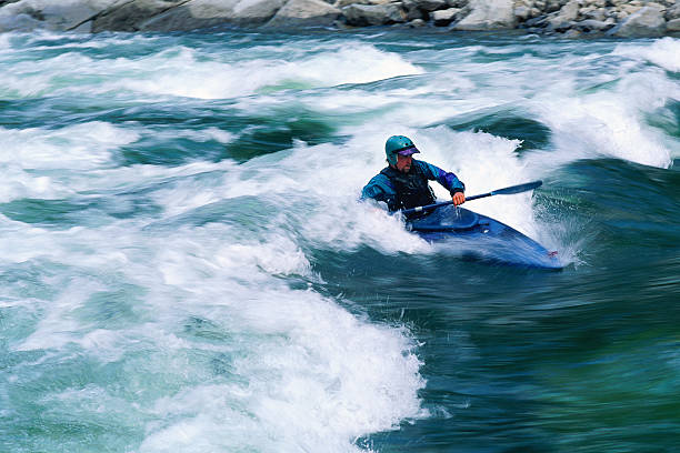
Photo courtesy of American Whitewater
Description
Put In rapid marks the entry point for this stretch of the Willow River, with a relatively straightforward launch adjacent to Little Falls Dam. Paddlers should be aware of potential dam-related hydraulics and carefully scout entry conditions, particularly during variable water levels. No significant technical challenges are noted for this specific rapid, but standard whitewater caution and proper boat positioning are recommended.
Location
Interactive river map
Loads as you approach this section.
View Full Run
C) Little Falls Dam to Trout Brook Road (1.85 miles) ** State Park Fee **
Willow
I(II)
1.7 mi
Current Conditions
5-Day Forecast
Whitewater data from
American Whitewater
American Whitewater