Take-out
WI
Take Out
Save this feature with the run it belongs to.
Gauge Conditions
Runnable: 200.0 – 1,800.0 CFS
Likely quite low. Possible E.L.F. (Extreme Low Flow) entertainment at a few locations. Flatwater will be paddle-able.
Data from American Whitewater & USGS
Photo
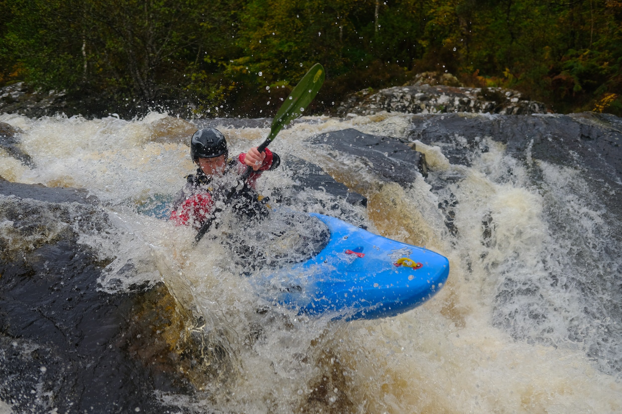
Photo courtesy of American Whitewater
Description
Take Out rapid marks the conclusion of the Willow River's Little Falls Dam to Trout Brook Road section, serving as a critical transition point for paddlers. While specific details are limited, the rapid likely presents typical end-of-run navigational challenges and may require careful approach and exit strategy. Paddlers should be prepared for potential hydraulic features and maintain situational awareness as they approach the take-out point.
Location
Interactive river map
Loads as you approach this section.
View Full Run
C) Little Falls Dam to Trout Brook Road (1.85 miles) ** State Park Fee **
Willow
I(II)
1.7 mi
Current Conditions
5-Day Forecast
Whitewater data from
American Whitewater
American Whitewater