Rapid
IL
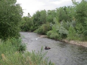
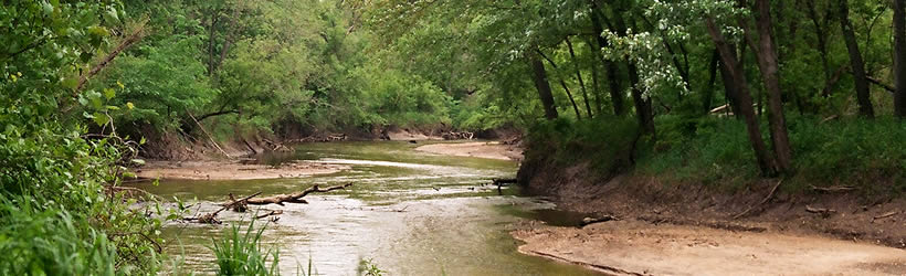
End of Waukarusa Canyon
Save this feature with the run it belongs to.
Gauge Conditions
Runnable: ? – ? CFS
Approximate - nearest available gauge. Use as general reference only.
Data from American Whitewater & USGS
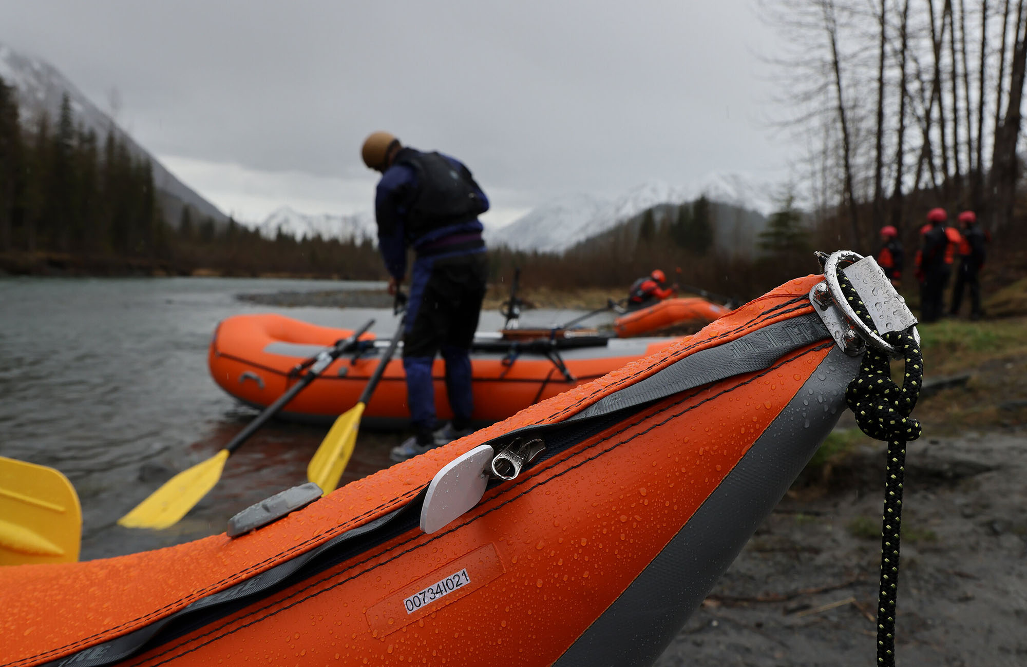
Photo

Photo courtesy of American Whitewater
Description
The end of Waukarusa Canyon marks a technical transition point with multiple potential line choices through a constricted channel. Paddlers should be alert for potential submerged rocks and shifting hydraulics, particularly during variable water levels that can dramatically alter the rapid's character and navigability.
Location

View Full Run
Point Rock Park to Jacobstown Road (at Scenic Bluff Rd) (6.2 miles)
Carroll Creek
I-II
6.1 mi
Current Conditions
5-Day Forecast
Whitewater data from
American Whitewater
American Whitewater