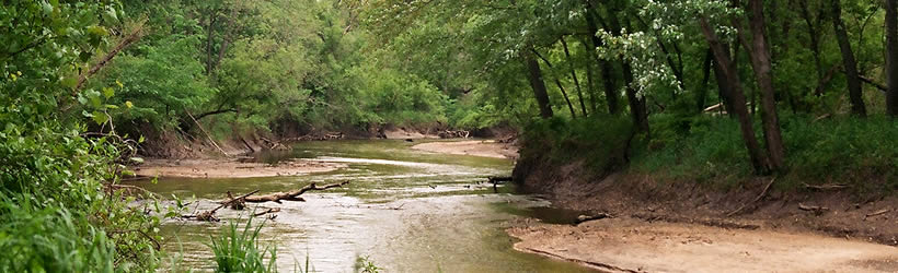
Take-out
IL
Take Out
Save this feature with the run it belongs to.
Gauge Conditions
Runnable: ? – ? CFS
Approximate - nearest available gauge. Use as general reference only.
Data from American Whitewater & USGS
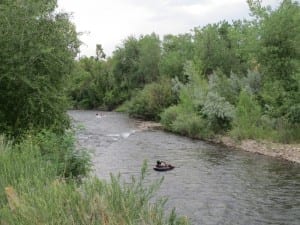
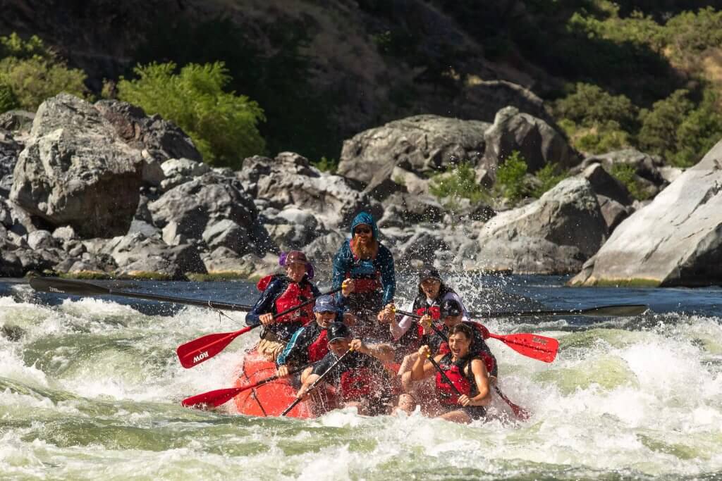
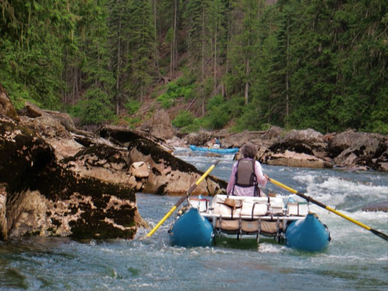
Photo
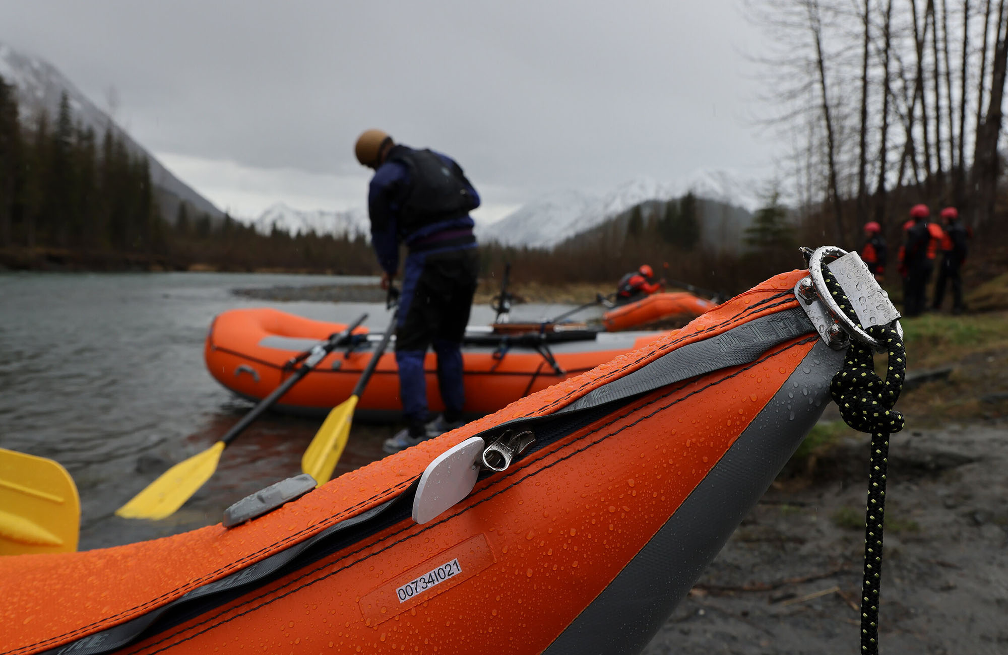
Photo courtesy of American Whitewater
Description
One mile northwest of this take-out (crow flies distance, not river miles), Carroll Creek merges into the Plum River.
Location

View Full Run
Point Rock Park to Jacobstown Road (at Scenic Bluff Rd) (6.2 miles)
Carroll Creek
I-II
6.1 mi
Current Conditions
5-Day Forecast
Whitewater data from
American Whitewater
American Whitewater