Falls!
Save this feature with the run it belongs to.
Gauge Conditions
Runnable: ? – ? CFS
Approximate - nearest available gauge. Use as general reference only.
Data from American Whitewater & USGS
Photo
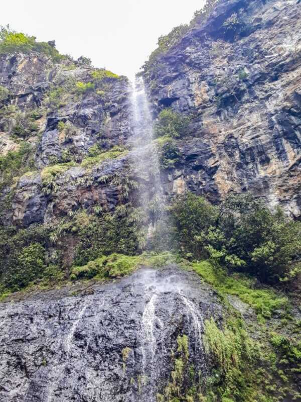
Photo courtesy of American Whitewater
Description
Massive rock shoulders flank the river as it is squeezed through a slot. Scout this! (Some maps are marked with "Marengo 2WP85 Dam" near here, presumably reference to (likely) a defunct abandoned dam which may have existed at this site.)
Location
Interactive river map
Loads as you approach this section.
View Full Run
A) Snake Trail Rd (FR 194) to Marengo Lake Rd (FR 384) (6.6 miles)
Marengo
II-III(V+)
6.6 mi
Current Conditions
5-Day Forecast
Whitewater data from
American Whitewater
American Whitewater