Rapid
WI
NOTICE:
Save this feature with the run it belongs to.
Gauge Conditions
Runnable: ? – ? CFS
Approximate - nearest available gauge. Use as general reference only.
Data from American Whitewater & USGS
Description
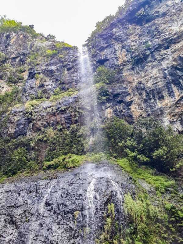
All which follows is derived from online aerial views. There are places the river is obscured from these aerial views. As a result, this should not be expected to be a completely accurate accounting of this run, but merely a representative sampling of features and waypoints.
Location
Interactive river map
Loads as you approach this section.

View Full Run
A) Snake Trail Rd (FR 194) to Marengo Lake Rd (FR 384) (6.6 miles)
Marengo
II-III(V+)
6.6 mi
Current Conditions
5-Day Forecast
Whitewater data from
American Whitewater
American Whitewater