Gauge Conditions
Likely 'fish flow' of 350 cfs.
Photo
Description
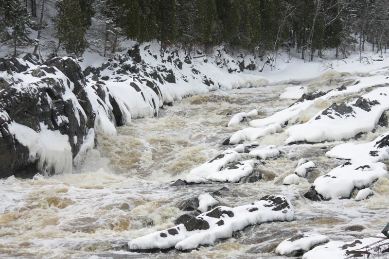
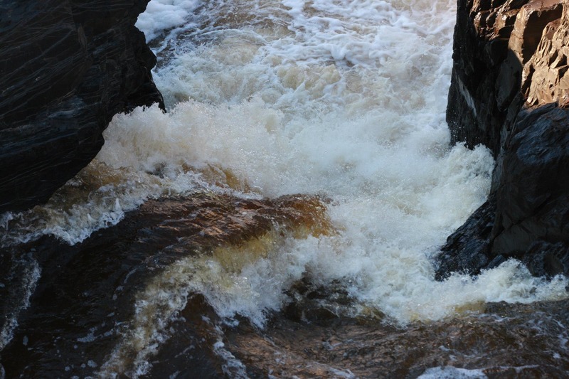
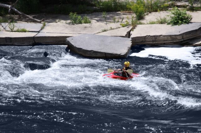
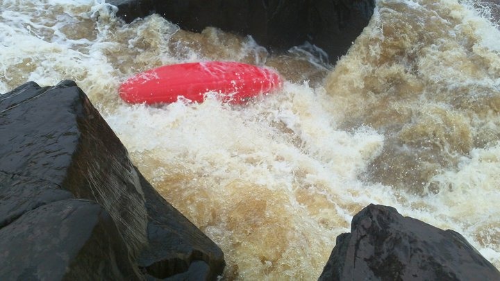
Fin Falls is the entrance to this stretch. The river twists to the right and trips over a short ledge (with upturned lip to provide an auto-boof) into a mushy hole below. Immediately, the flow is diverted left down a narrow channel, through a couple of diagonal waves and holes, tripping around a couple rocks, than dropping through a large, gnarly hole sitting tight against a slightly overhanging wall of rock. At levels above 800cfs the recommendation is to attempt to skirt the hole to the left.
A brief recovery pool leads to another couple boulder choke and ledges, best run down the left.
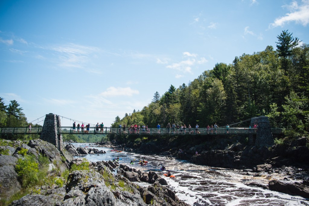
For anyone unfamiliar with this run, I strongly advise scouting this before running the river. Scouting (and portaging) are not easy, as the shore is all very upthrust angular rock. If you are not running this drop, it may be best to take out at the suspension bridge.
Location
Other Rapids on This Run (13)
 Waterfall
IV+
Waterfall
IV+
 Rapid
N/A
Rapid
N/A
 Playspot
III
Playspot
III
 Playspot
III
Playspot
III
 Rapid
IV
Rapid
IV
 Waterfall
IV
Waterfall
IV
 Playspot
N/A
Playspot
N/A
 Rapid
N/A
Rapid
N/A
Current Conditions
5-Day Forecast
American Whitewater