Gauge Conditions
Runnable: 3,000.0 – 4,500.0 CFS
Likely 'fish flow' of 350 cfs.
Data from American Whitewater & USGS
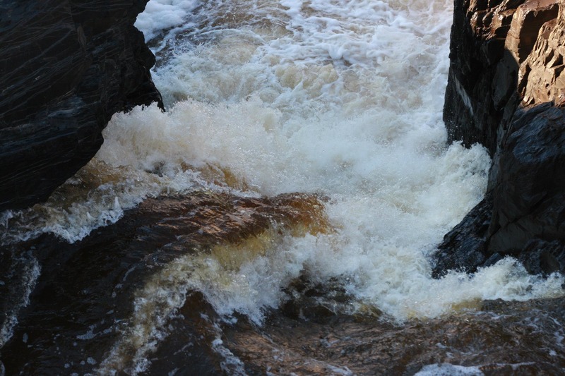
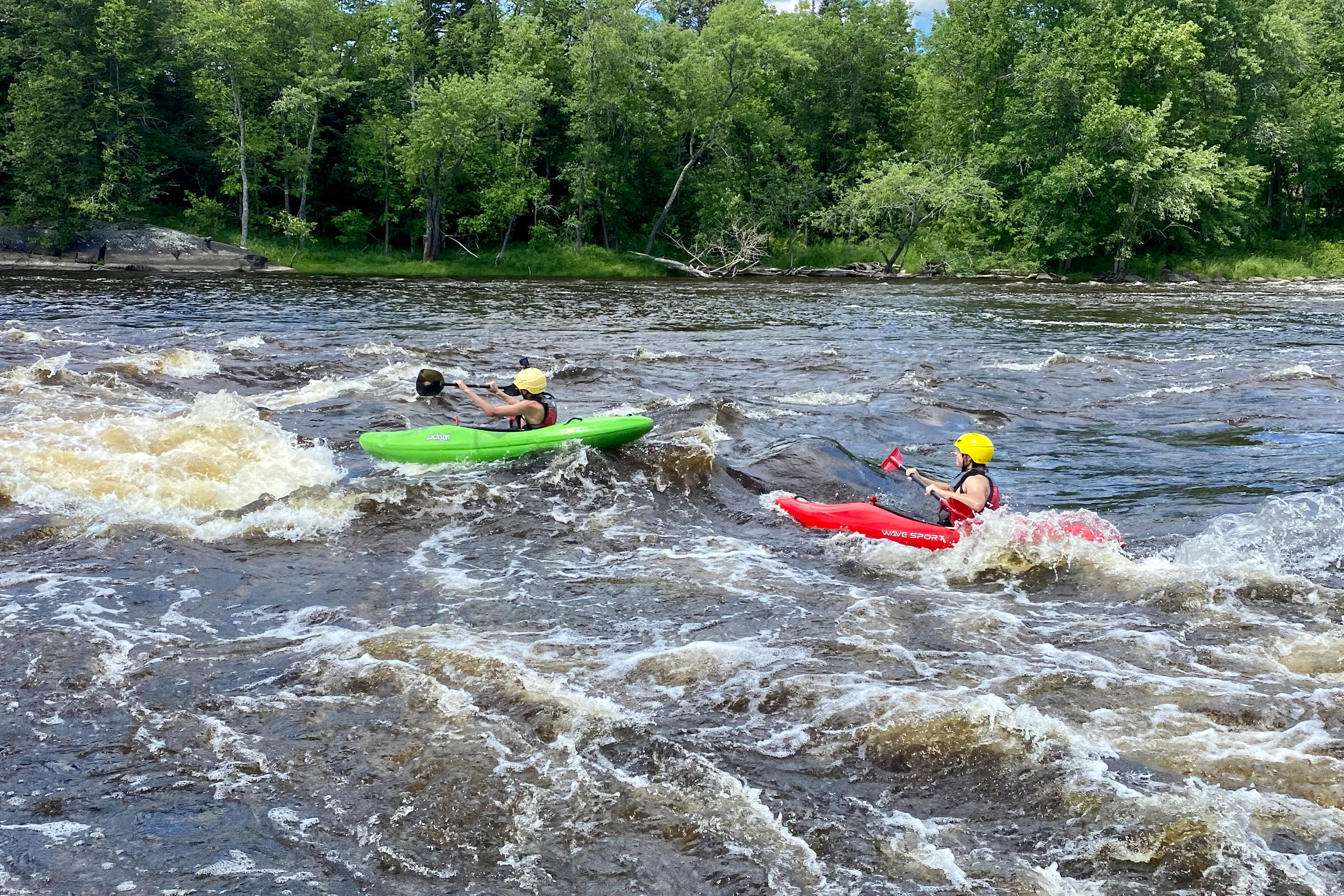
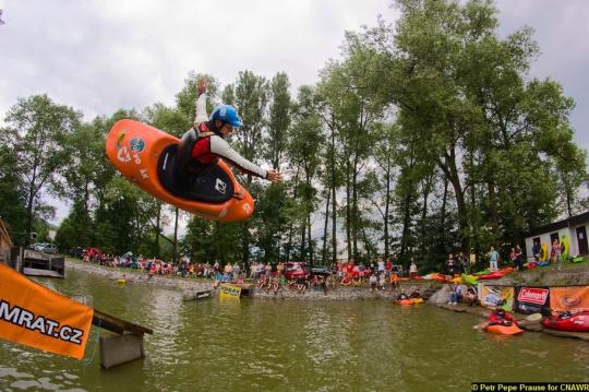
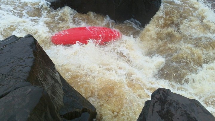
Photo
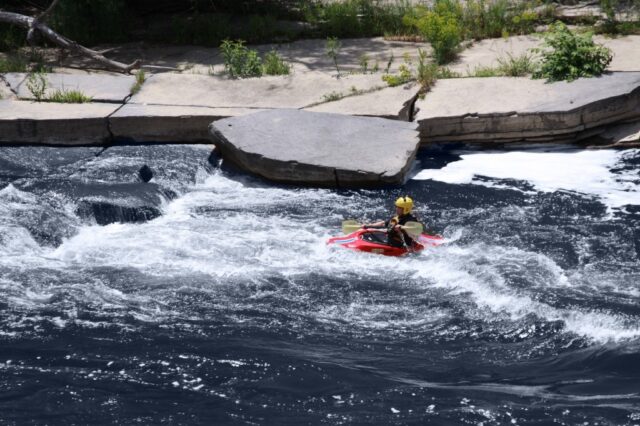
Photo courtesy of American Whitewater
Description
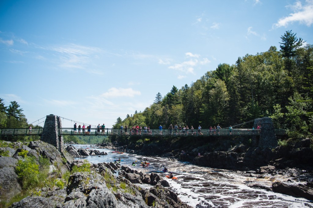
Approximately 1/4 mile downstream from Hwy.210, a trestle spans the river. This former rail line is now the multi-use "Munger Trail", affording hikers, bikers and roller-bladers an impressive view of the gorge. This paved "rail-trail" connects to the outskirts of Duluth, and makes a fine recreational alternative for non-paddlers, or paddlers taking an 'off-river' day. There is a fairly steady 2% grade downhill from Thomson to Duluth. (Or, conversely, a steady 2% uphill grade from Duluth to Thomson.)
The old railroad bridge on the Munger Trail (as well as some overlooks on the river-left bank) provide good overhead viewing of the Second Rodeo Hole in the heart of the gorge.
Location
Other Rapids on This Run (13)
 Waterfall
IV+
Waterfall
IV+
Slot Machine
Rapid
N/A
Entrance
 Rapid
N/A
Rapid
N/A
Put In
 Playspot
III
Playspot
III
The "210 drop" (First Rodeo Hole)
Rapid
N/A
Twisted Sister
 Rapid
IV
Rapid
IV
Octopus
 Waterfall
IV
Waterfall
IV
Swinging Bridge
Rapid
IV+
"The Miracle Mile"
 Playspot
N/A
Playspot
N/A
Play Pen
 Rapid
IV+
Rapid
IV+
Fin Falls
Rapid
N/A
"The Wall"
 Rapid
N/A
Rapid
N/A
Take Out
Rapid
N/A
Oldenburg Point Viewing Deck
View Full Run
E) CR210 to Oldenburg Point (3.25 miles)
St. Louis
II-V
3.3 mi
Current Conditions
5-Day Forecast
Whitewater data from
American Whitewater
American Whitewater