Flat Shoal Falls
Save this feature with the run it belongs to.
Gauge Conditions
Runnable: 2.0 – 8.0 FT
Upper limit for best boatability uncertain. Please help your fellow boaters with a comment or report.
Data from American Whitewater & USGS
Photo
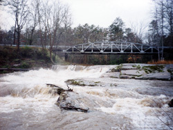
Photo courtesy of American Whitewater
Description
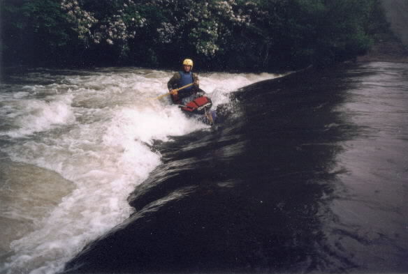
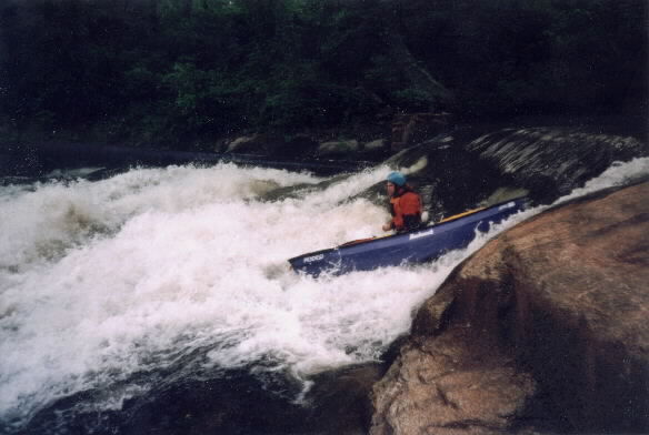
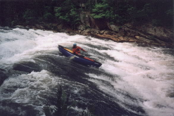
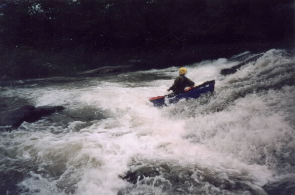
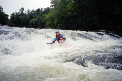
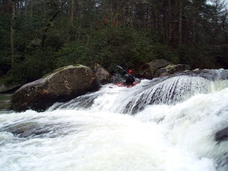
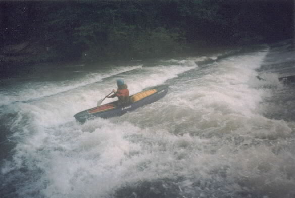
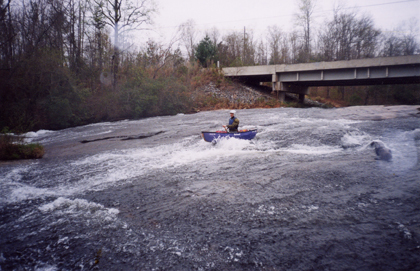
Flat Shoal plunges over four distinct rapids at "The Falls". All of the drops have relatively clean lines, but be wary of trees in the slides. At high water this half mile of river becomes one huge rapid.
The class IV rating for the run really reflects the fact that the four rapids or drops of the falls are very close together.
There is an access point a the top of first drop.
A trail runs down the river left bank to the base of the third drop.
Location
Interactive river map
Loads as you approach this section.
View Full Run
1: Hwy 11 to Flat Shoals Bridge
Flat Shoal River
I-III(IV)
3.4 mi
Hazard — Exercise extreme caution. Portage recommended — scout before running.
Current Conditions
5-Day Forecast
Whitewater data from
American Whitewater
American Whitewater