Mystery Slide
Save this feature with the run it belongs to.
Gauge Conditions
Runnable: 2.0 – 8.0 FT
Upper limit for best boatability uncertain. Please help your fellow boaters with a comment or report.
Data from American Whitewater & USGS
Photo
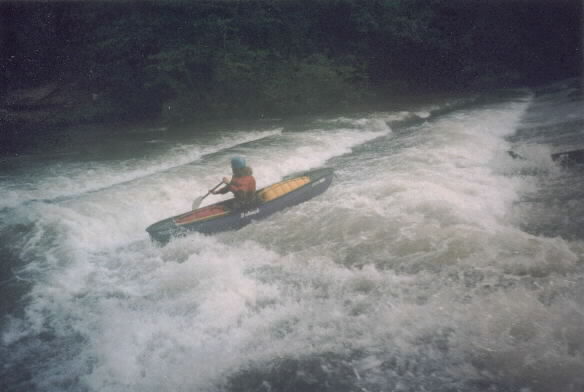
Photo courtesy of American Whitewater
Description
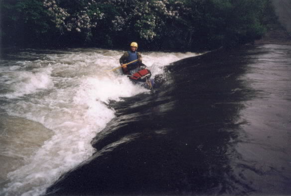
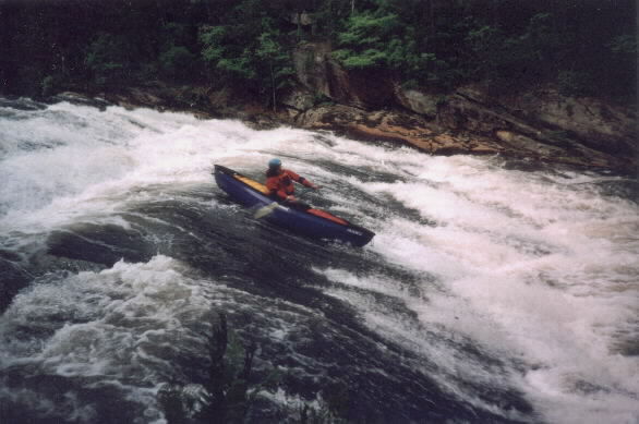
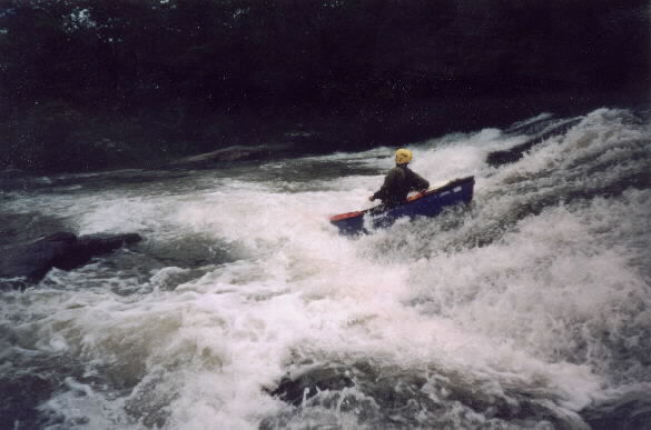
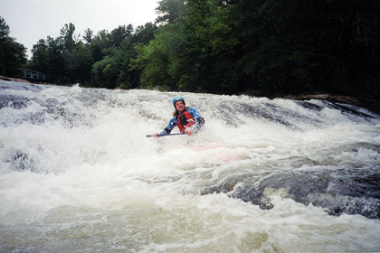
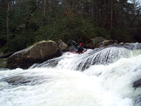
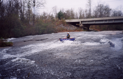
The river picks up again after passing the Little River Lane access point. A huge horizon line and some streamside buildings mark a large sliding drop. Other than the possible trees in the rapid most lines appear safe.
Location
Interactive river map
Loads as you approach this section.
View Full Run
1: Hwy 11 to Flat Shoals Bridge
Flat Shoal River
I-III(IV)
3.4 mi
Current Conditions
5-Day Forecast
Whitewater data from
American Whitewater
American Whitewater