Hanine Falls
Save this feature with the run it belongs to.
Gauge Conditions
Runnable: 600.0 – 3,000.0 CFS
Likely too low. Likely under 100 cfs here. (Best flows uncertain. Add a comment or report.)
Data from American Whitewater & USGS
Photo
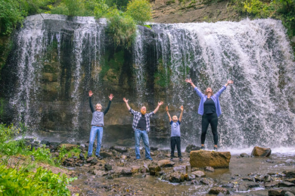
Photo courtesy of American Whitewater
Description
Hanine Falls is a powerful Class IV waterfall drop with a technical, narrow entry that requires precise boat positioning to avoid deadly hydraulic recirculation zones on either side of the main channel. Paddlers must execute a tight, left-center line with minimal margin for error, using a combination of momentum and precise paddle strokes to navigate the steep vertical descent and maintain control through the turbulent runout.
Location
Interactive river map
Loads as you approach this section.
Other Rapids on This Run (4)
View Full Run
B) Hwy.73 to Samuelson Park (3.75, 6.65, or up to 23 miles)
Little Fork
I-II(IV)
23.6 mi
Hazard — Exercise extreme caution in this area.
Current Conditions
5-Day Forecast
Whitewater data from
American Whitewater
American Whitewater