Put-in
MN
Put In
Save this feature with the run it belongs to.
Gauge Conditions
Runnable: 600.0 – 3,000.0 CFS
Likely too low. Likely under 100 cfs here. (Best flows uncertain. Add a comment or report.)
Data from American Whitewater & USGS
Photo
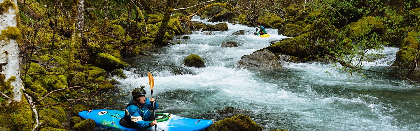
Photo courtesy of American Whitewater
Description
The Put In rapid marks the starting point for this Little Fork River section, offering paddlers an entry into a remote wilderness stretch with minimal beta. While specifics are limited, the transition from highway access to river environment likely involves navigating initial river features that set the tone for the downstream journey, with paddlers needing to be prepared for potential shallow sections, submerged obstacles, and variable water conditions typical of this Minnesota stream.
Location
Interactive river map
Loads as you approach this section.
Other Rapids on This Run (4)

View Full Run
B) Hwy.73 to Samuelson Park (3.75, 6.65, or up to 23 miles)
Little Fork
I-II(IV)
23.6 mi
Current Conditions
5-Day Forecast
Whitewater data from
American Whitewater
American Whitewater