Take-out
MN
Take Out
Save this feature with the run it belongs to.
Gauge Conditions
Runnable: 600.0 – 3,000.0 CFS
Likely too low. Likely under 100 cfs here. (Best flows uncertain. Add a comment or report.)
Data from American Whitewater & USGS
Photo
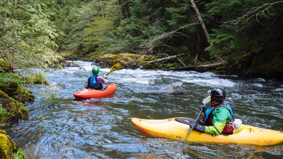
Photo courtesy of American Whitewater
Description
Take Out rapid marks the end of this river section, characterized by a wide, shallow approach with potential submerged rocks and debris. Paddlers should carefully navigate the braided channels and be prepared for shifting water levels that can expose or conceal hazards. Scout the exit carefully, especially at lower water levels, to ensure a clean line through the final stretch before the takeout point.
Location
Interactive river map
Loads as you approach this section.
Other Rapids on This Run (4)
View Full Run
B) Hwy.73 to Samuelson Park (3.75, 6.65, or up to 23 miles)
Little Fork
I-II(IV)
23.6 mi
Current Conditions
5-Day Forecast
Whitewater data from
American Whitewater
American Whitewater