Hard Luck Gorge
Save this feature with the run it belongs to.
Gauge Conditions
Runnable: ? – ? CFS
Approximate - nearest available gauge. Use as general reference only.
Data from American Whitewater & USGS
CDEC Flow Data California
Data from California Data Exchange Center (CDEC)
Photo
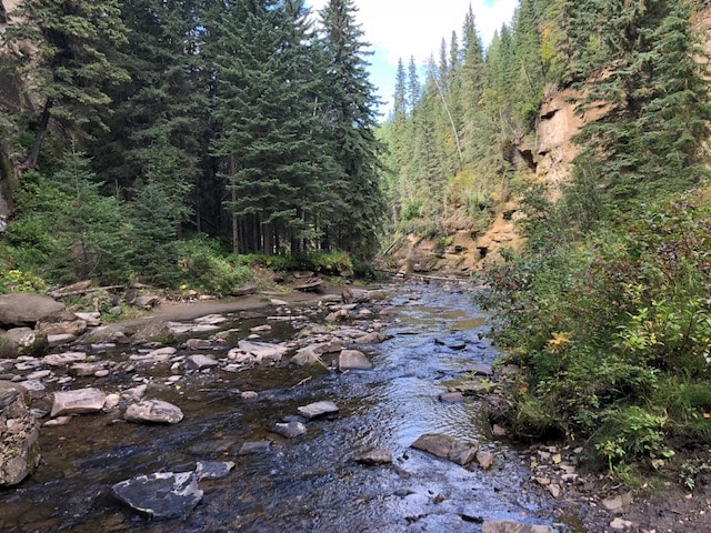
Photo courtesy of American Whitewater
Description
The creek bends left from south east to north east and enters a spectacular gorge. The rapids in the gorge are generally class 3.
The Piru Creek gauge at the beginning of the gorge presents a serious hazard. The gauge structure is on river left, but a low head dam spans the river. This weir is reported to have very sharp metal edges on the top which could damage a boat. Scout river right.
Location
Interactive river map
Loads as you approach this section.
Other Rapids on This Run (5)
View Full Run
1) Upper
Piru Creek
IV-V
31.2 mi
Hazard — Exercise extreme caution in this area.
Current Conditions
5-Day Forecast
Whitewater data from
American Whitewater
American Whitewater