Put-in
CA
Put In
Save this feature with the run it belongs to.
Gauge Conditions
Runnable: ? – ? CFS
Approximate - nearest available gauge. Use as general reference only.
Data from American Whitewater & USGS
CDEC Flow Data California
Data from California Data Exchange Center (CDEC)
Photo
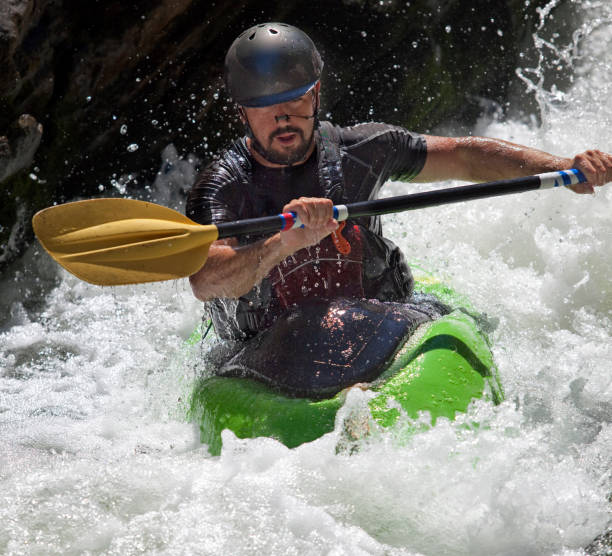
Photo courtesy of American Whitewater
Description
Put In marks the beginning of the Upper Piru Creek descent, typically involving a challenging entry point with potential hazards like tight boulder gardens and unpredictable water levels. Paddlers should carefully scout the initial section and be prepared for potential portages or complex route-finding through technical, potentially wood-choked rapids.
Location
Interactive river map
Loads as you approach this section.
Other Rapids on This Run (5)
View Full Run
1) Upper
Piru Creek
IV-V
31.2 mi
Current Conditions
5-Day Forecast
Whitewater data from
American Whitewater
American Whitewater