Rapid
CA
Road
Save this feature with the run it belongs to.
Gauge Conditions
Runnable: ? – ? CFS
Approximate - nearest available gauge. Use as general reference only.
Data from American Whitewater & USGS
CDEC Flow Data California
Data from California Data Exchange Center (CDEC)
Description
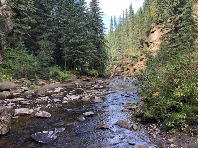
A dirt road or trail comes down the Smith Fork to Piru Creek from Hungry Valley OHV area. It is not clear if this road is open during the winter or spring when the creek could be runnable.
Location
Interactive river map
Loads as you approach this section.
Other Rapids on This Run (5)


View Full Run
1) Upper
Piru Creek
IV-V
31.2 mi
Current Conditions
5-Day Forecast
Whitewater data from
American Whitewater
American Whitewater