Helicopter
Save this feature with the run it belongs to.
Gauge Conditions
Runnable: ? – ? CFS
Approximate - nearest available gauge. Use as general reference only.
Data from American Whitewater & USGS
CDEC Flow Data California
Data from California Data Exchange Center (CDEC)
Photo
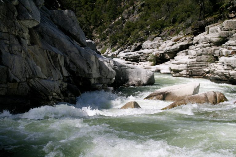
Photo courtesy of American Whitewater
Description
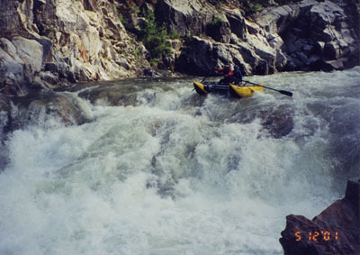
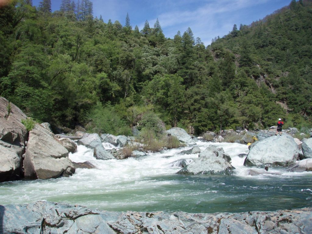
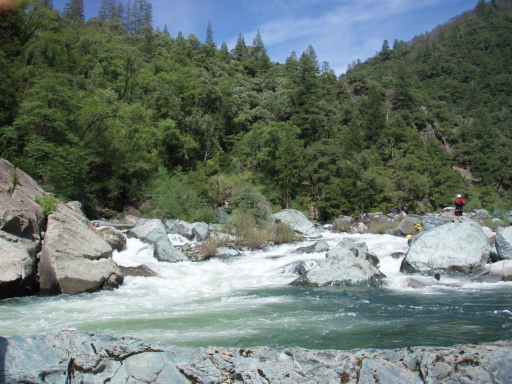
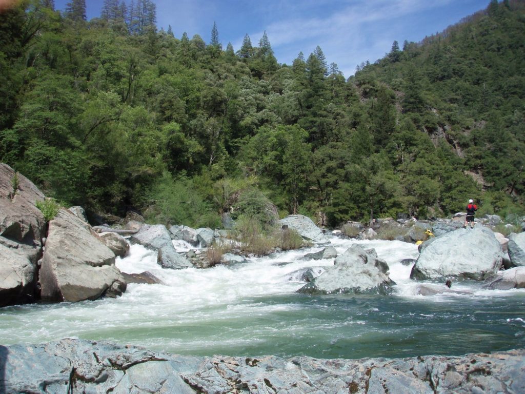
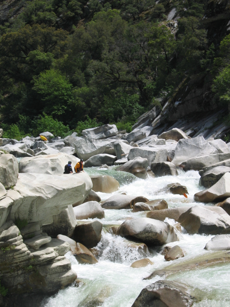
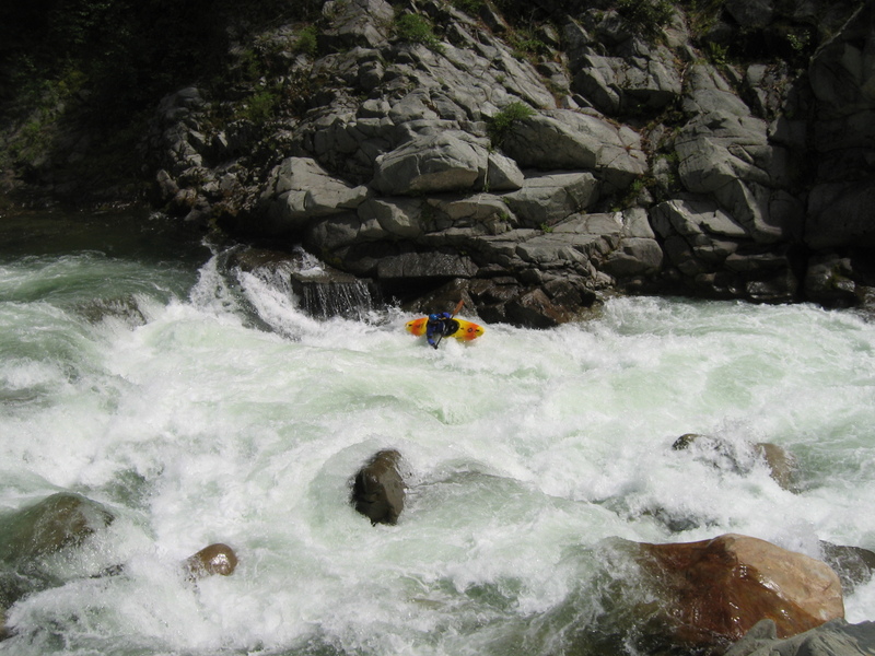
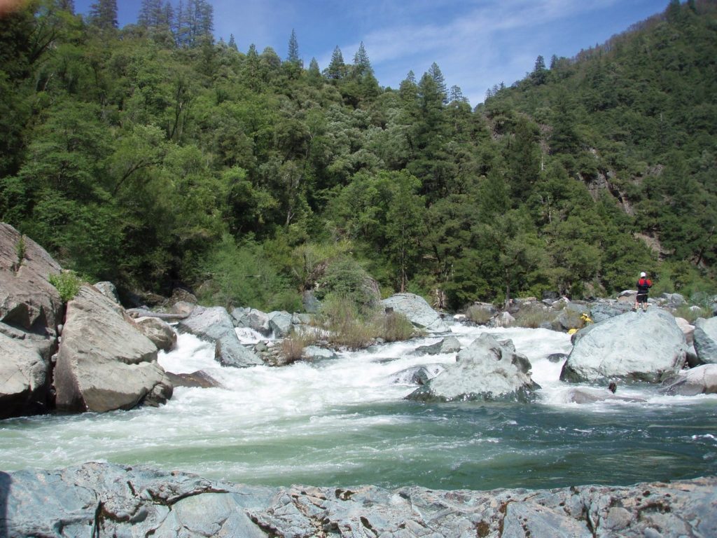
Helicopter is a boisterous must run rapid where the river channel constricts, dropping steeply between a large vertical cliff on the left and a field of sieved out boulders on the right. Giant 500 foot granite slabs to the left, sometimes with a cascading waterfall appear just before it. A small beach and scramble above on the left affords a scouting opportunity. Three rowdy holes must be punched before a right turning airplane turn finale.
Location
Interactive river map
Loads as you approach this section.
Other Rapids on This Run (13)
View Full Run
2. Quincy-La Porte Road to Milsap Bar
Feather, Middle Fork
V
33.0 mi
Current Conditions
5-Day Forecast
Whitewater data from
American Whitewater
American Whitewater