Portage
CA
Portage
Save this feature with the run it belongs to.
Gauge Conditions
Runnable: ? – ? CFS
Approximate - nearest available gauge. Use as general reference only.
Data from American Whitewater & USGS
CDEC Flow Data California
Data from California Data Exchange Center (CDEC)
Photo
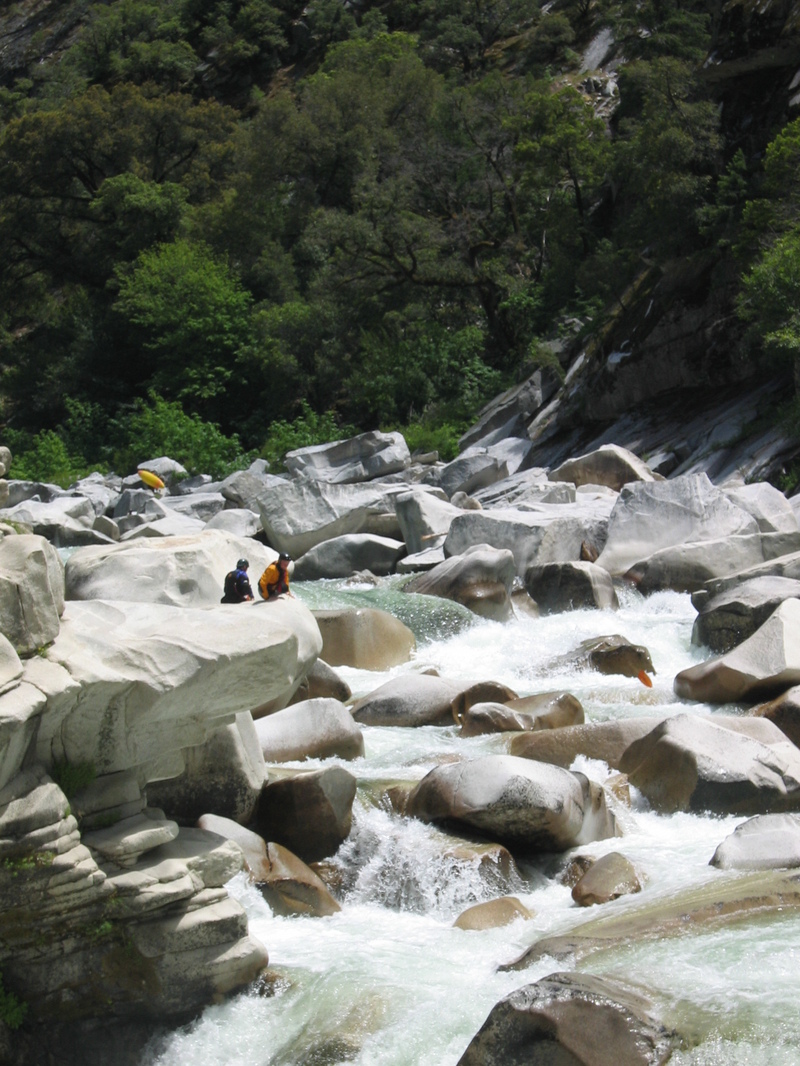
Photo courtesy of American Whitewater
Description
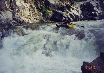
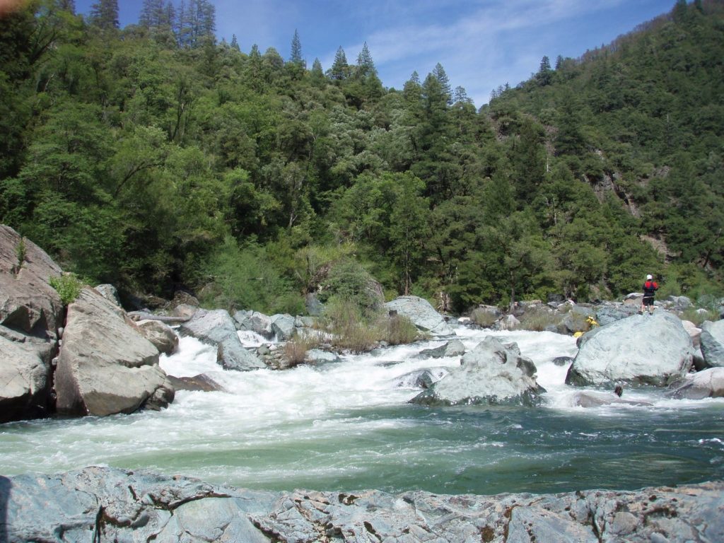
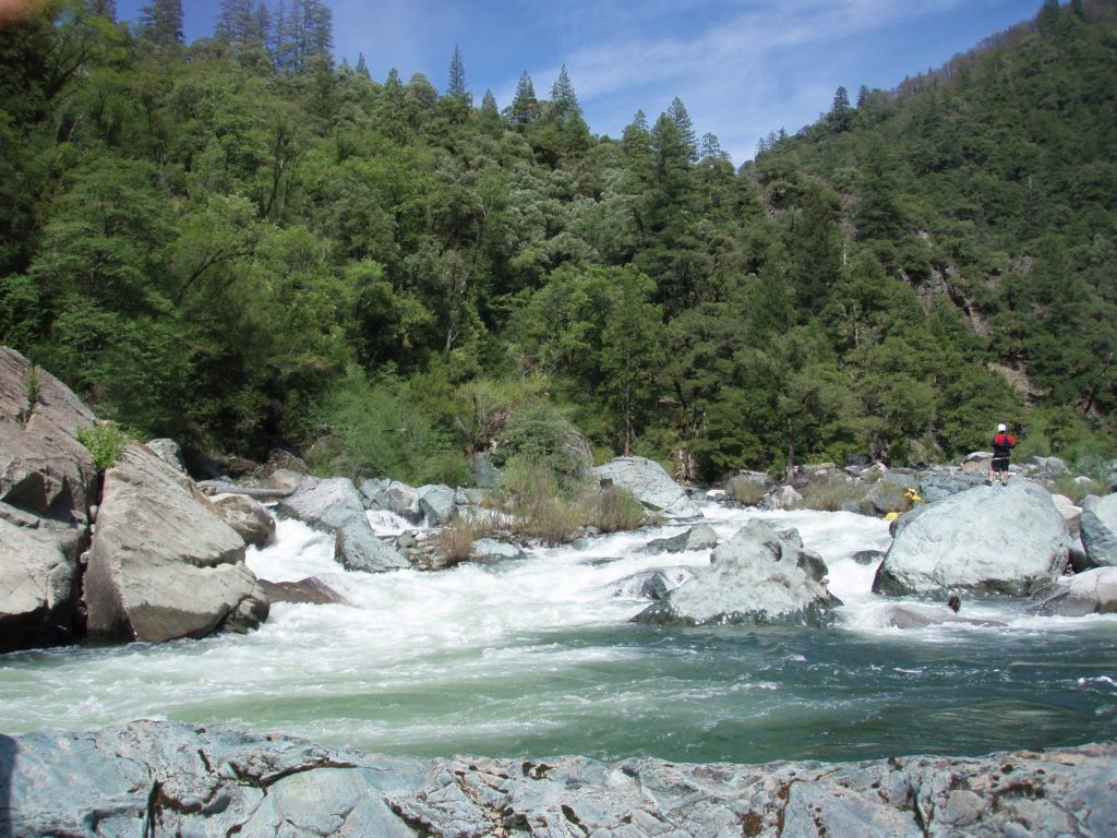
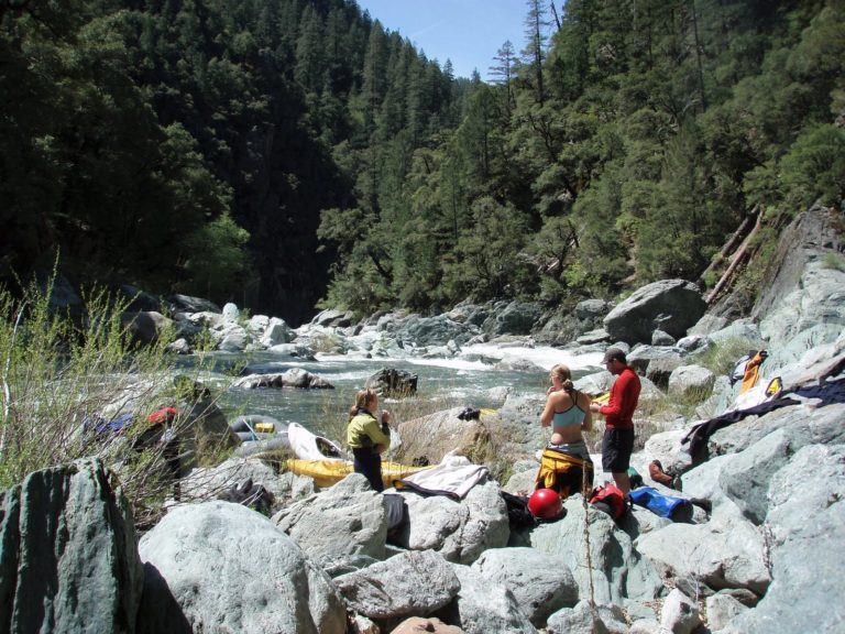
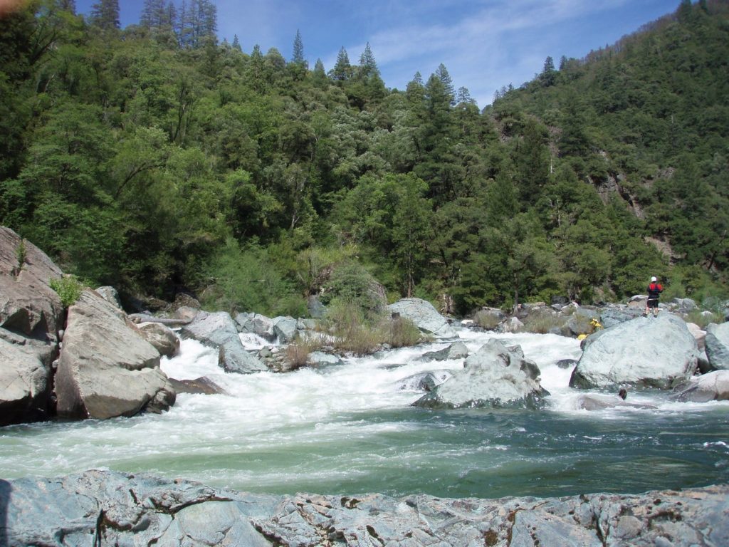
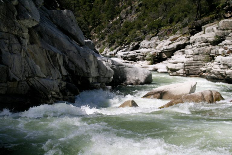
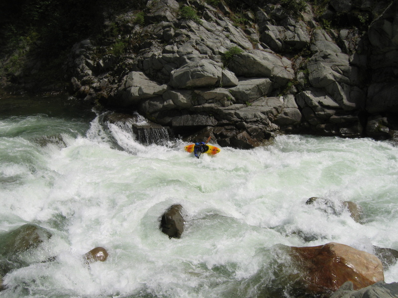
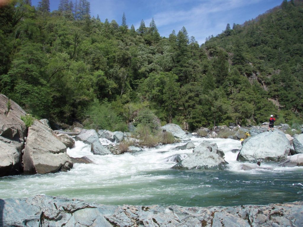
The Portage starts immediately after a large rapid (that some may also portage). A large still pool and huge river left cliffs announce its arrival and a well trodden trail commences on the right at the top end of the pool, traversing up through the forest. Resist the temptation to descend too early as the trail becomes less defined, and finally scramble down granite ledges to a perch over looking the last drop of the portage. The Portage rapid has been run at low water but is a very serious proposition.
Location
Interactive river map
Loads as you approach this section.
Other Rapids on This Run (13)
View Full Run
2. Quincy-La Porte Road to Milsap Bar
Feather, Middle Fork
V
33.0 mi
Portage recommended — Scout before running and consider carrying around this feature.
Current Conditions
5-Day Forecast
Whitewater data from
American Whitewater
American Whitewater