Rapid
CA
Stag Point
Save this feature with the run it belongs to.
Gauge Conditions
Runnable: ? – ? CFS
Approximate - nearest available gauge. Use as general reference only.
Data from American Whitewater & USGS
CDEC Flow Data California
Data from California Data Exchange Center (CDEC)
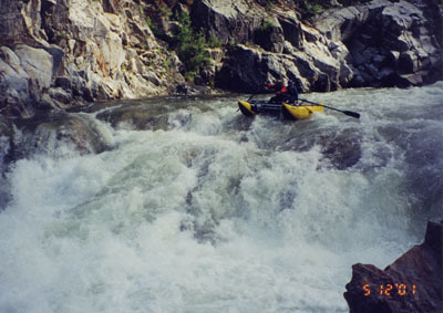
Photo
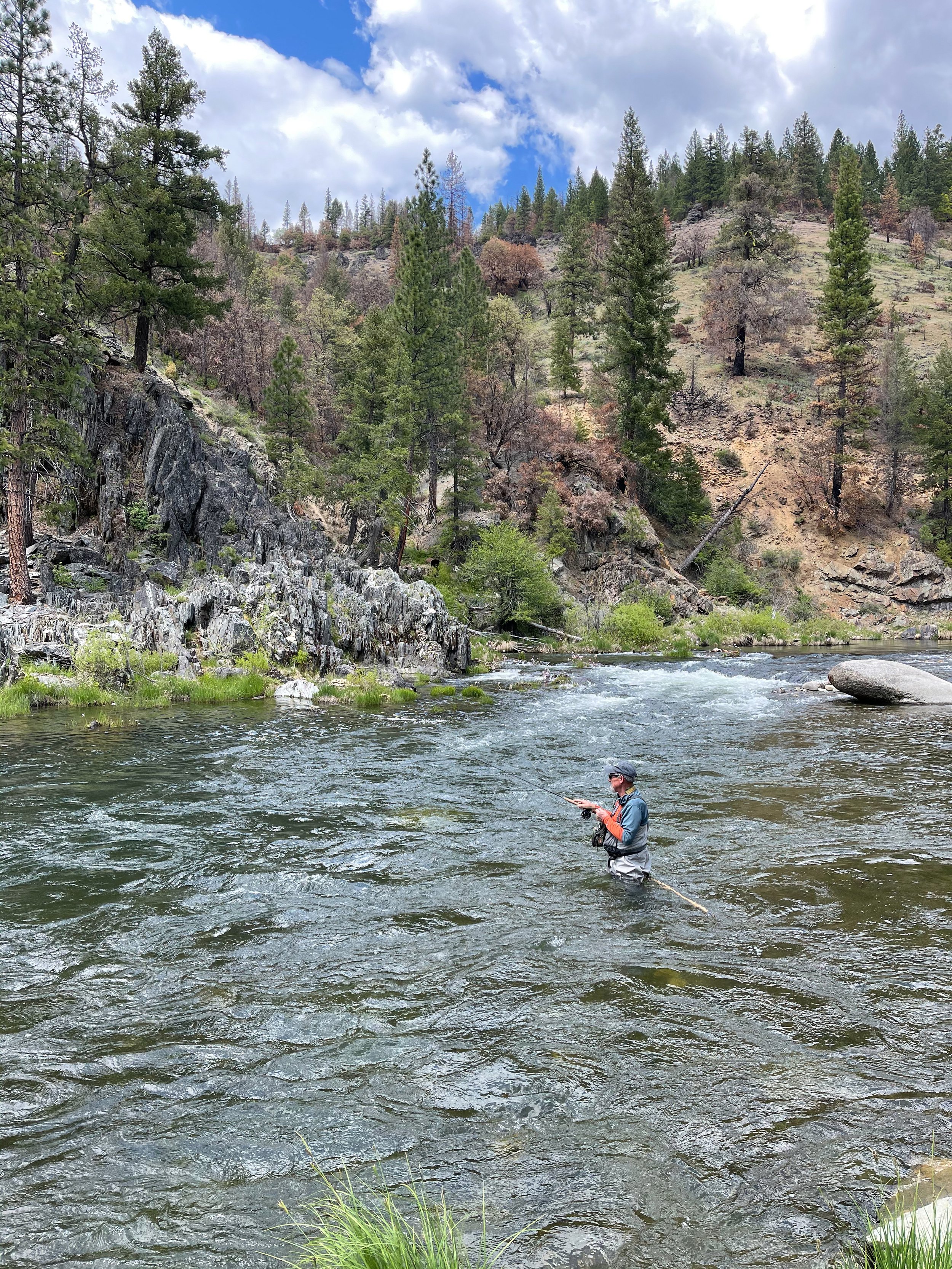
Photo courtesy of American Whitewater
Description
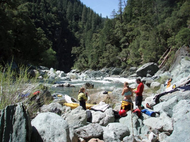
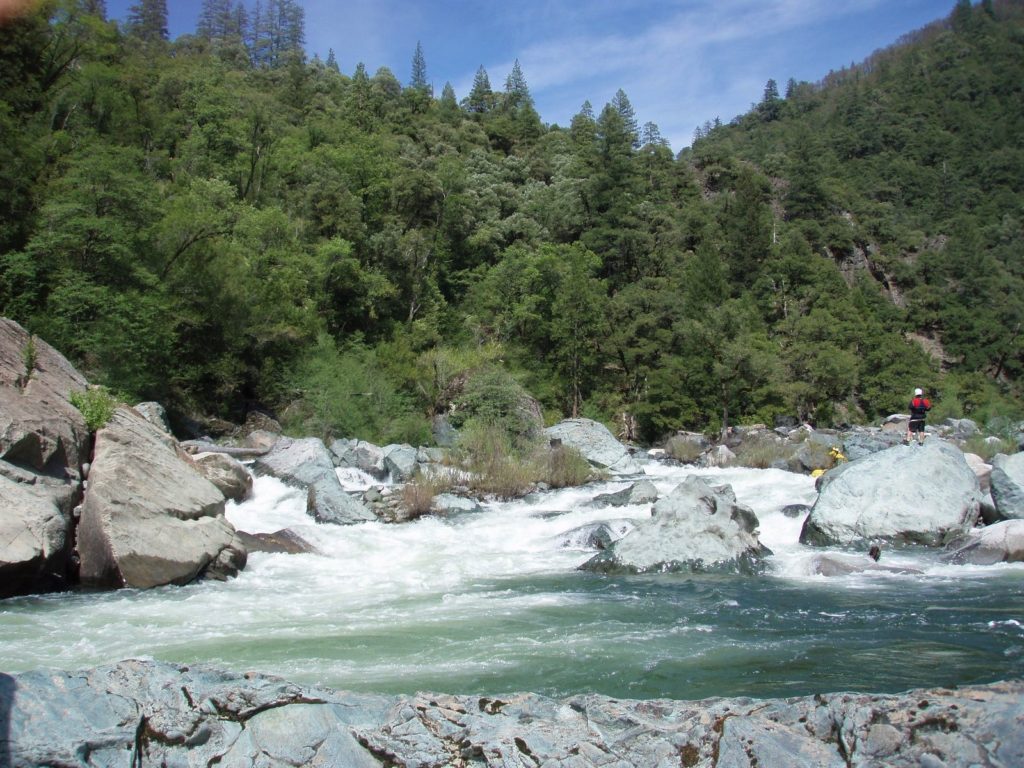
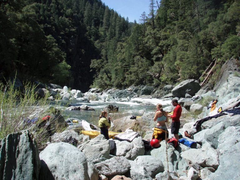
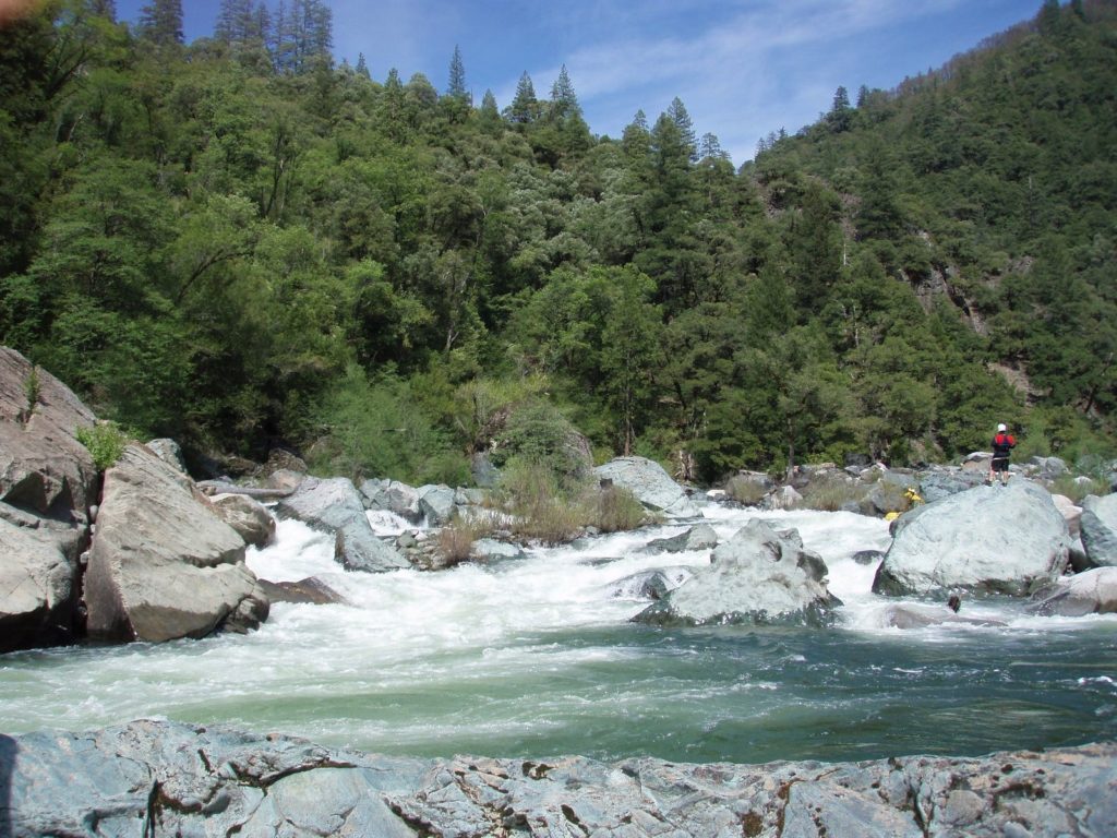
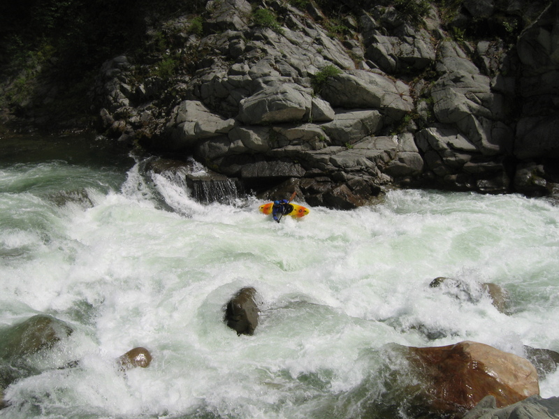
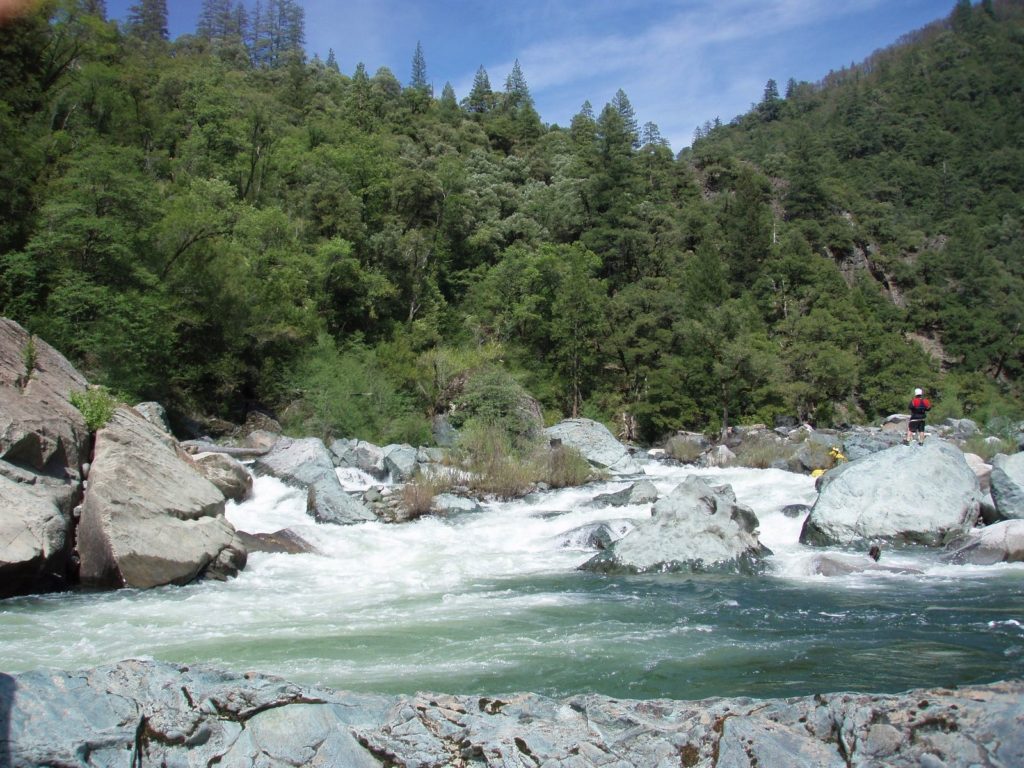
A prominent river feature, Stag Point is a sharp right hand bend in the river with large beach with bedrock and pebbles right and cascading creek entering river left. Topo's show 4x4 access river left downstream of the creek here though this has not been visually confirmed from the river. Possible emergency access/egress? See this website for more details.
Location
Interactive river map
Loads as you approach this section.
Other Rapids on This Run (13)
View Full Run
2. Quincy-La Porte Road to Milsap Bar
Feather, Middle Fork
V
33.0 mi
Current Conditions
5-Day Forecast
Whitewater data from
American Whitewater
American Whitewater