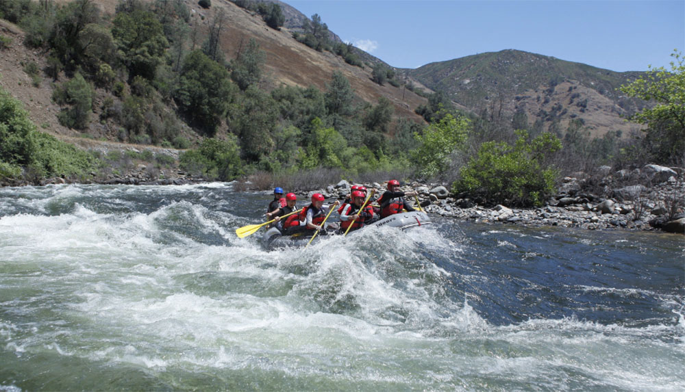
Rapid
CA
Hiking Trail Access
Save this feature with the run it belongs to.
CDEC Flow Data California
Data from California Data Exchange Center (CDEC)
Description
A trail comes down on river left to near the river. This trail starts from roads near Iron Creek. The distance from the river to the trail head is about 1.5 miles. The road to the trail head probably has no traffic and might be closed in the winter.
Location
Interactive river map
Loads as you approach this section.
Other Rapids on This Run (4)

View Full Run
2) Wawona to Main Merced
Merced, S. Fork
V+
22.0 mi
Current Conditions
5-Day Forecast
Whitewater data from
American Whitewater
American Whitewater