Put-in
CA
Put-in
Save this feature with the run it belongs to.
CDEC Flow Data California
Data from California Data Exchange Center (CDEC)
Photo
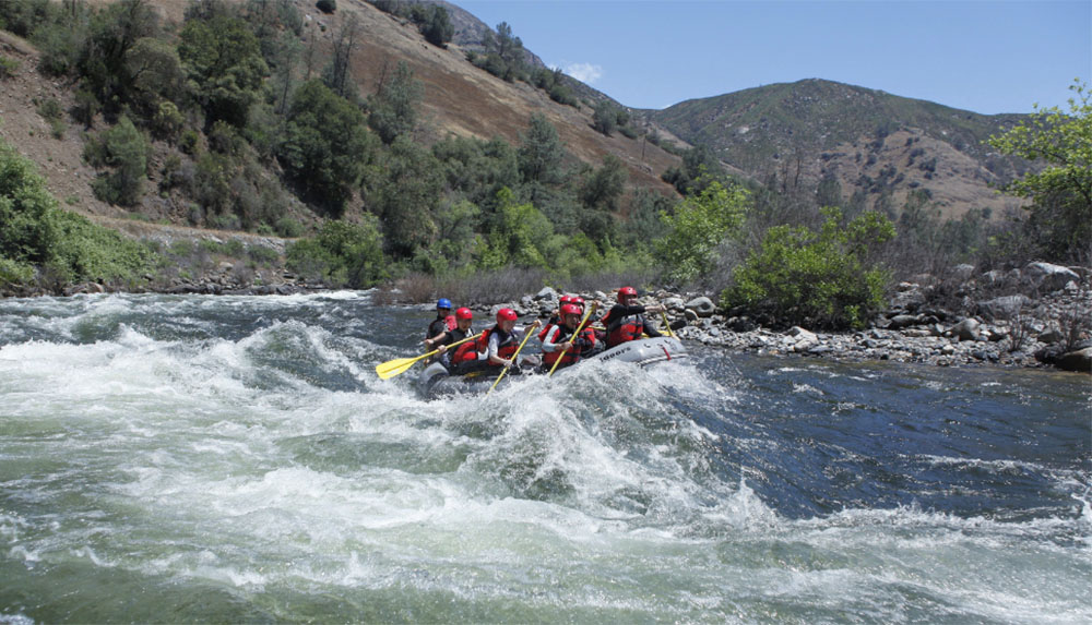
Photo courtesy of American Whitewater
Description
Put-in is a launching point for rafts and kayaks entering the South Fork Merced River near Wawona, with minimal technical challenges but requiring careful boat placement and awareness of potential submerged rocks. Paddlers should scout the entry point carefully and be prepared for potential shifting water levels that can alter the rapid's characteristics during different seasonal flows.
Location
Interactive river map
Loads as you approach this section.
Other Rapids on This Run (4)

View Full Run
2) Wawona to Main Merced
Merced, S. Fork
V+
22.0 mi
Current Conditions
5-Day Forecast
Whitewater data from
American Whitewater
American Whitewater