Rapid
CA
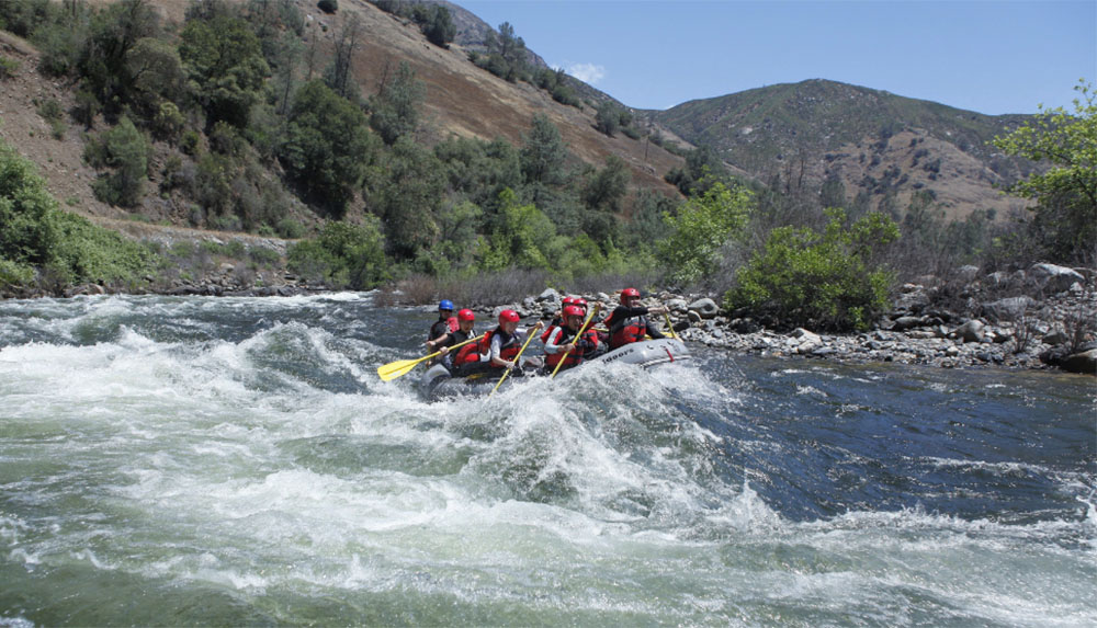
Hiking trail access
Save this feature with the run it belongs to.
CDEC Flow Data California
Data from California Data Exchange Center (CDEC)
Description
A pack trail comes down from Highway 41 near Alder Creek and crosses the river near Bishop Creek. The trail also branches, with one fork going downstream on the east side of the river to Snyder Gulch. The other fork goes upstream on the west side of the river for a ways before climbing to a trail head near Iron Creek. The trails appear to be high above the river in most areas, but if reached would likely afford easier escape than at river level.
Location
Interactive river map
Loads as you approach this section.
Other Rapids on This Run (4)

View Full Run
2) Wawona to Main Merced
Merced, S. Fork
V+
22.0 mi
Current Conditions
5-Day Forecast
Whitewater data from
American Whitewater
American Whitewater