Rapid
WI
Homme Pond / Wittenberg Spillway
Save this feature with the run it belongs to.
Gauge Conditions
Runnable: ? – ? CFS
Approximate - nearest available gauge. Use as general reference only.
Data from American Whitewater & USGS
Photo

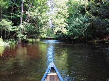
Photo courtesy of American Whitewater
Description
At times of high water, some may wish to extend their trip by starting at Homme Pond / Wittenberg Dam. We are unsure of access here; At least some sources suggest this is fenced/gated.A hydro project exists at this site.Drainage at this site (as calculated by USGS StreamStats software) is ~71 square miles.
Location
Interactive river map
Loads as you approach this section.




View Full Run
CTH.Q to CTH.J (7.1 miles)
Embarrass, M.Br.
I-II(III)
6.7 mi
Current Conditions
5-Day Forecast
Whitewater data from
American Whitewater
American Whitewater