Take-out
WI
Take Out
Save this feature with the run it belongs to.
Gauge Conditions
Runnable: ? – ? CFS
Approximate - nearest available gauge. Use as general reference only.
Data from American Whitewater & USGS
Photo
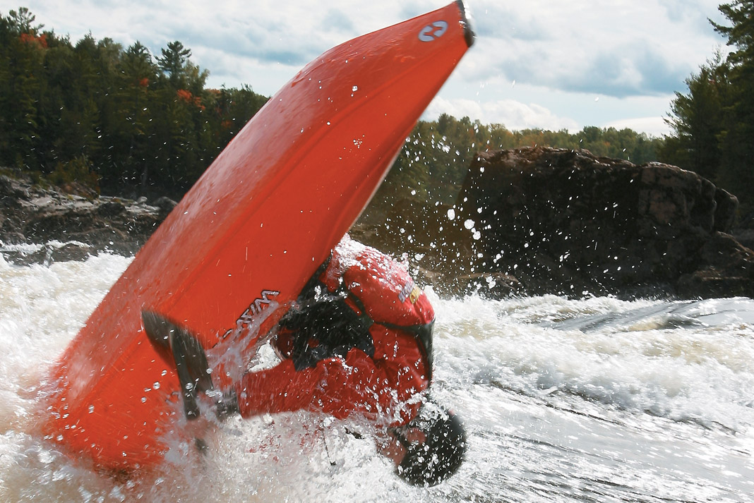
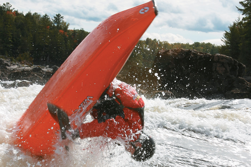
Photo courtesy of American Whitewater
Description
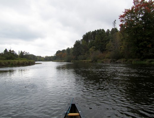
Take Out is the standard exit point for this section of the Embarrass River, located at the CTH.J bridge where paddlers complete their 7.1-mile downstream run. While no specific technical challenges are noted, careful river reading and awareness of potential obstacles near the takeout are recommended for a safe exit.
Location
Interactive river map
Loads as you approach this section.


View Full Run
CTH.Q to CTH.J (7.1 miles)
Embarrass, M.Br.
I-II(III)
6.7 mi
Current Conditions
5-Day Forecast
Whitewater data from
American Whitewater
American Whitewater