Huckleberry Creek confluence
Save this feature with the run it belongs to.
Gauge Conditions
Runnable: ? – ? CFS
Approximate - nearest available gauge. Use as general reference only.
Data from American Whitewater & USGS
Photo
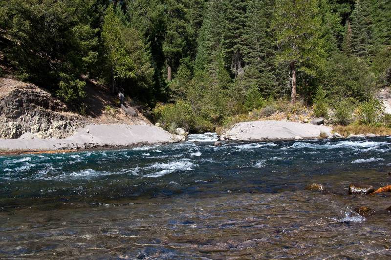
Photo courtesy of American Whitewater
Description
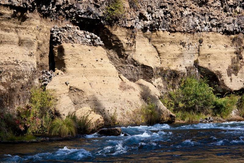
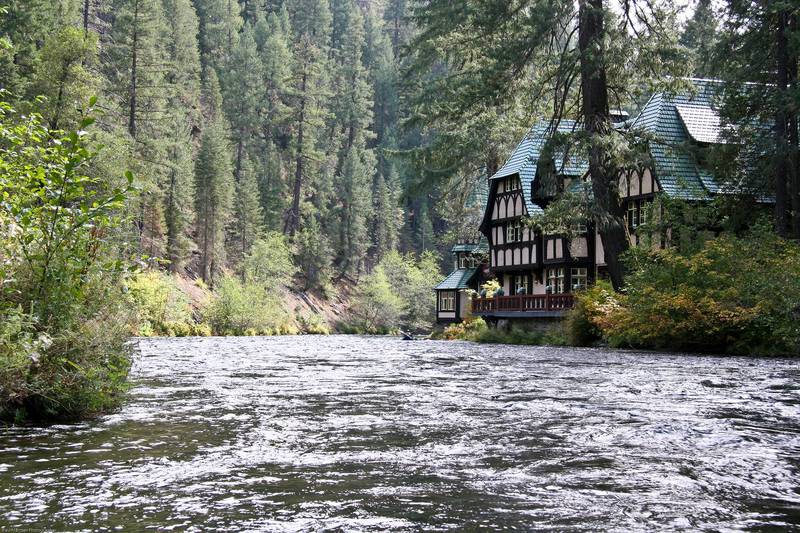
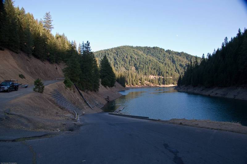
A couple hundred yards past the last of the Wyntoon buildings, Huckleberry Creek comes in from the right, carrying a load of gray silt. Huckleberry Creek is naturally spring fed so its flow should be crystal clear. The silty flow is from Mud Creek which has been diverted into a ditch and directed to Huckleberry Creek. This confluence also marks the high water level of McCloud reservoir. Flat water paddling starts here or a short ways downstream.
Location
Interactive river map
Loads as you approach this section.
Other Rapids on This Run (13)
 Playspot
N/A
Playspot
N/A
Lower Falls
Rapid
N/A
Boat Launch
Rapid
N/A
Furthest downstream put in
 Rapid
N/A
Rapid
N/A
Little Springs
 Rapid
N/A
Rapid
N/A
Big Springs
Rapid
IV
Big Springs Rapid
Rapid
N/A
Mud Creek confluence
 Rapid
II+
Rapid
II+
First Bridge
 Rapid
III
Rapid
III
Mud Wall Rapid
 Rapid
I
Rapid
I
Angel Creek confluence
Rapid
N/A
24,000 acre/feet level
Rapid
N/A
Reservoir Bridge
 Rapid
N/A
Rapid
N/A
Tarantula Boat Ramp
View Full Run
Fowler Camp to McCloud Reservoir
McCloud
III+(IV)
11.0 mi
Current Conditions
5-Day Forecast
Whitewater data from
American Whitewater
American Whitewater