Rapid
CA
Mud Creek confluence
Save this feature with the run it belongs to.
Gauge Conditions
Runnable: ? – ? CFS
Approximate - nearest available gauge. Use as general reference only.
Data from American Whitewater & USGS
Description
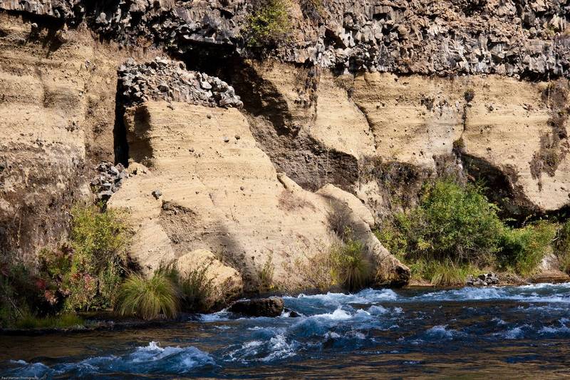
Mud Creek comes in from the right. I think this is an area of lower gradient following a particularly long section of continuous class 3. There are a few spots in this area to pull over and take a breather.
Mud Creek has its headwaters near the summit of Mt Shasta. It is said to be much more prominent during high flow periods, when it lives up to its name. It runs silty year round, but during low flow periods most of the flow is diverted into a ditch several miles upstream near highway 89. The ditch empties into Huckelberry creek near the reservoir.
Location
Interactive river map
Loads as you approach this section.
Other Rapids on This Run (13)
 Playspot
N/A
Playspot
N/A
Lower Falls
Rapid
N/A
Boat Launch
Rapid
N/A
Furthest downstream put in
 Rapid
N/A
Rapid
N/A
Little Springs
 Rapid
N/A
Rapid
N/A
Big Springs
Rapid
IV
Big Springs Rapid
 Rapid
II+
Rapid
II+
First Bridge
 Rapid
III
Rapid
III
Mud Wall Rapid
 Rapid
I
Rapid
I
Angel Creek confluence
 Rapid
I
Rapid
I
Huckleberry Creek confluence
Rapid
N/A
24,000 acre/feet level
Rapid
N/A
Reservoir Bridge
 Rapid
N/A
Rapid
N/A
Tarantula Boat Ramp
View Full Run
Fowler Camp to McCloud Reservoir
McCloud
III+(IV)
11.0 mi
Current Conditions
5-Day Forecast
Whitewater data from
American Whitewater
American Whitewater