Island
Save this feature with the run it belongs to.
Gauge Conditions
Runnable: ? – ? CFS
Approximate - nearest available gauge. Use as general reference only.
Data from American Whitewater & USGS
Photo
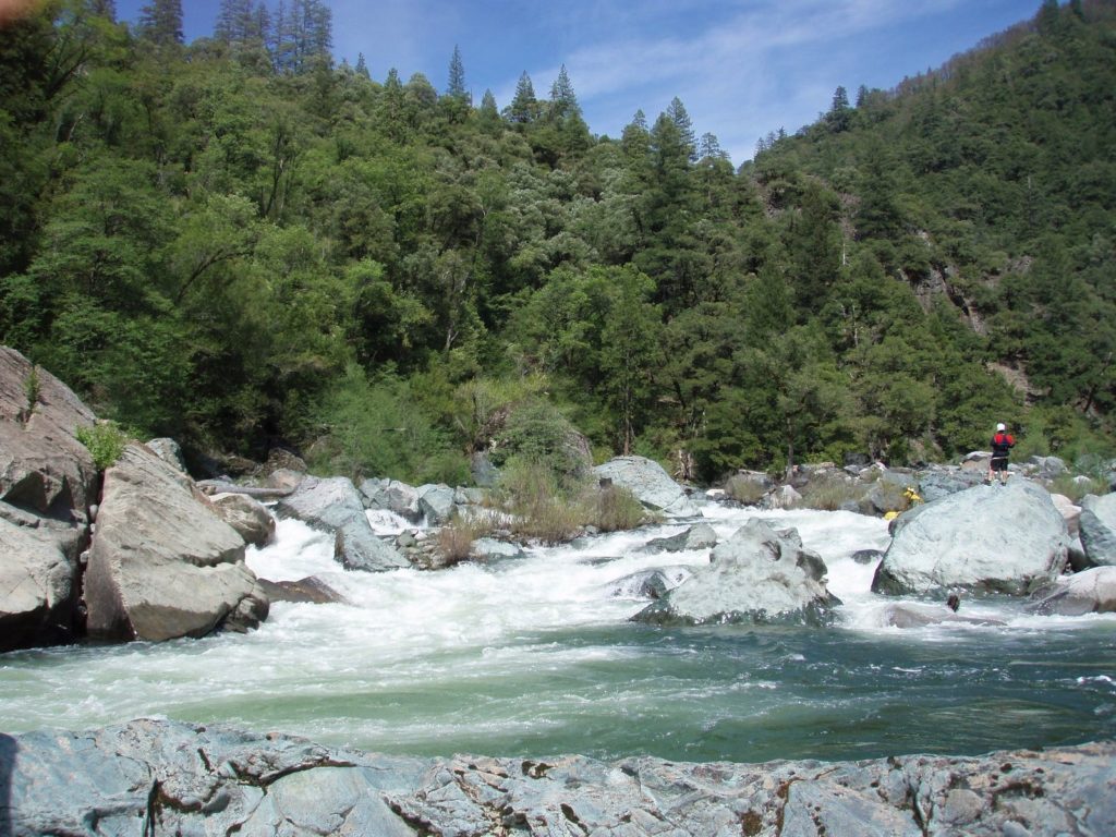
Photo courtesy of American Whitewater
Description
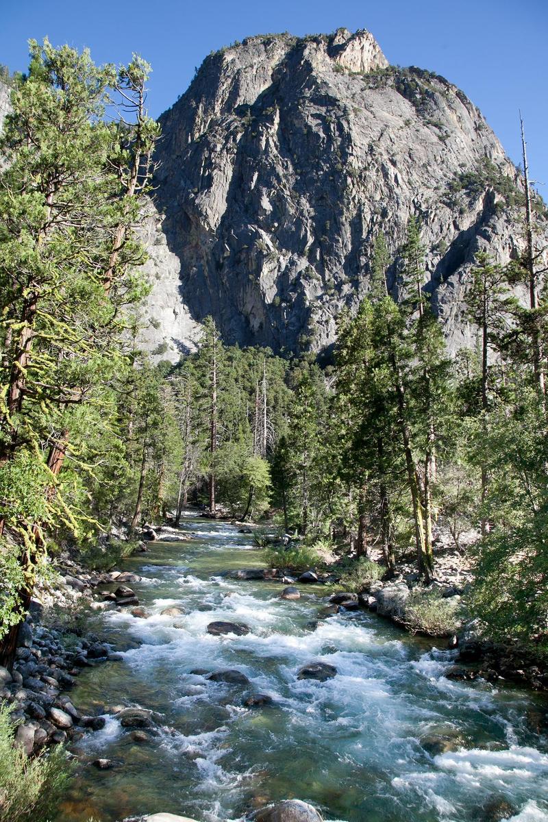
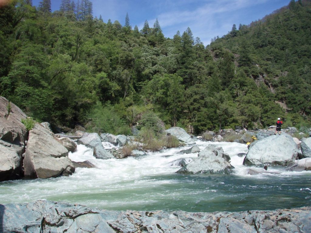
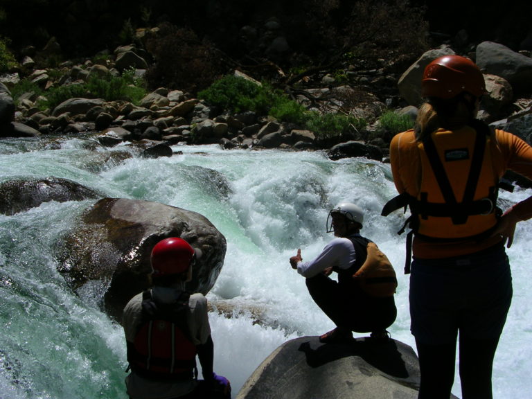
The river splits around a short but wide island, then drops down a class 3 to 4 rapid as the channels come back together. The gradient increases to 90 feet per mile approximately and rapids are pretty continuous for almost a mile.
Location
Interactive river map
Loads as you approach this section.
View Full Run
1.5) Bubbs Creek Confluence to Park Boundary
Kings, S. Fork
I-III(V)
9.5 mi
Current Conditions
5-Day Forecast
Whitewater data from
American Whitewater
American Whitewater