Take-out
CA
Take Out
Save this feature with the run it belongs to.
Gauge Conditions
Runnable: ? – ? CFS
Approximate - nearest available gauge. Use as general reference only.
Data from American Whitewater & USGS
Photo
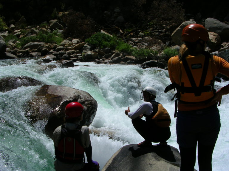
Photo courtesy of American Whitewater
Description
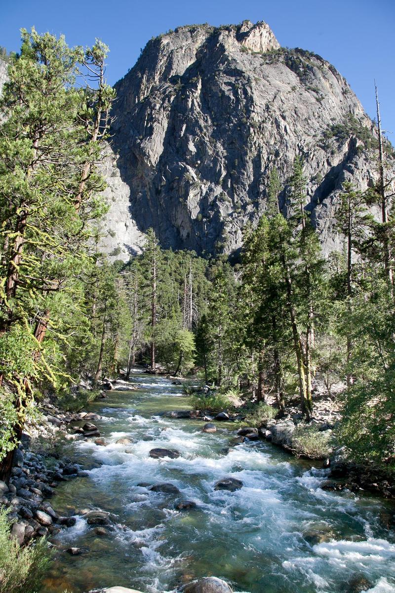
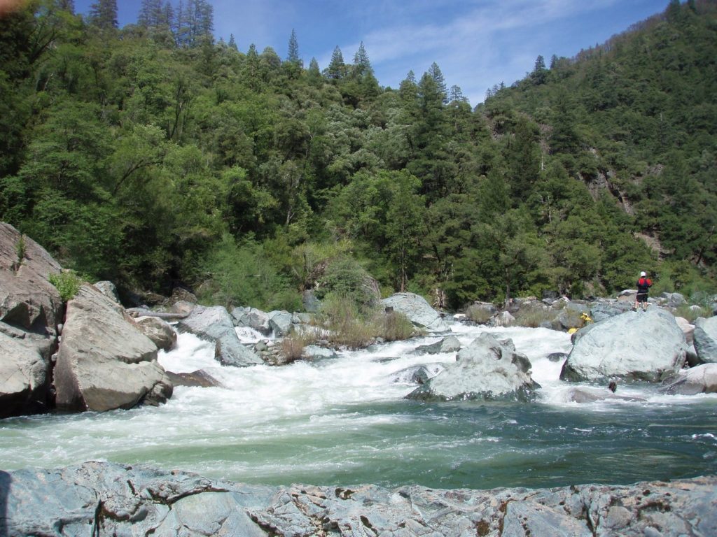
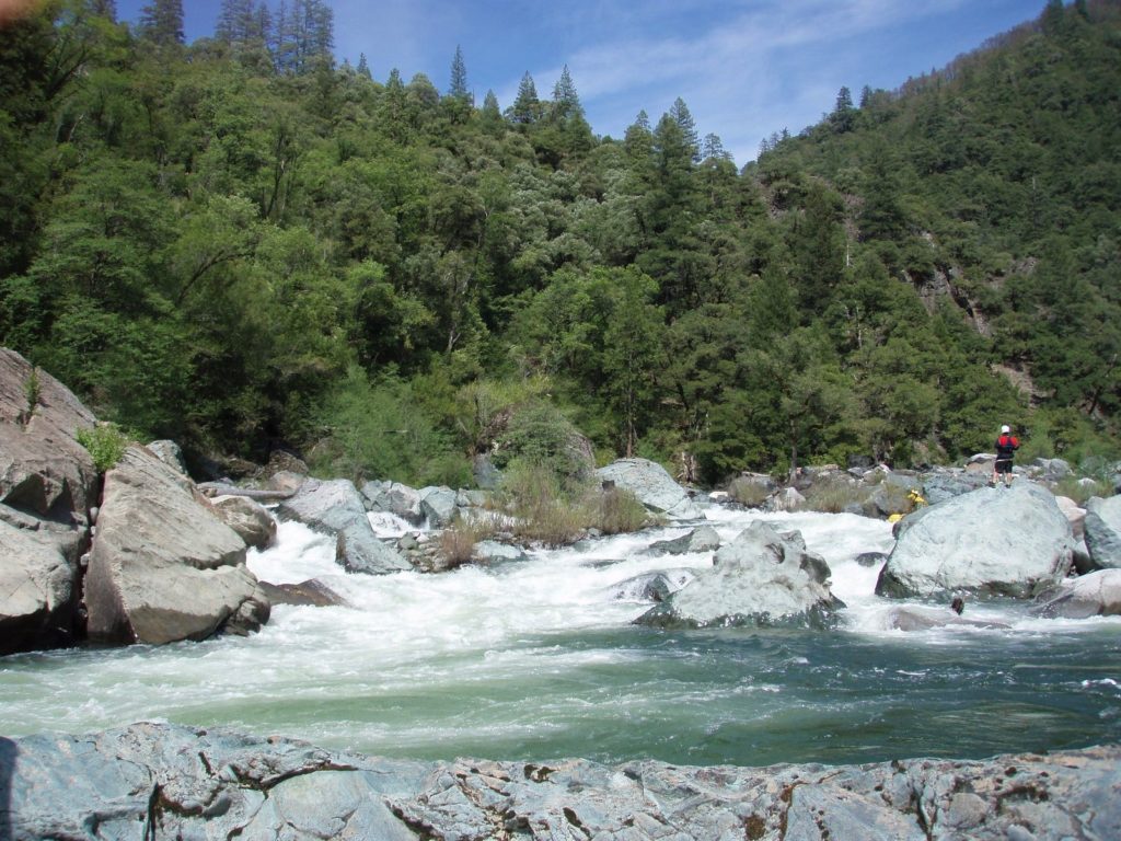
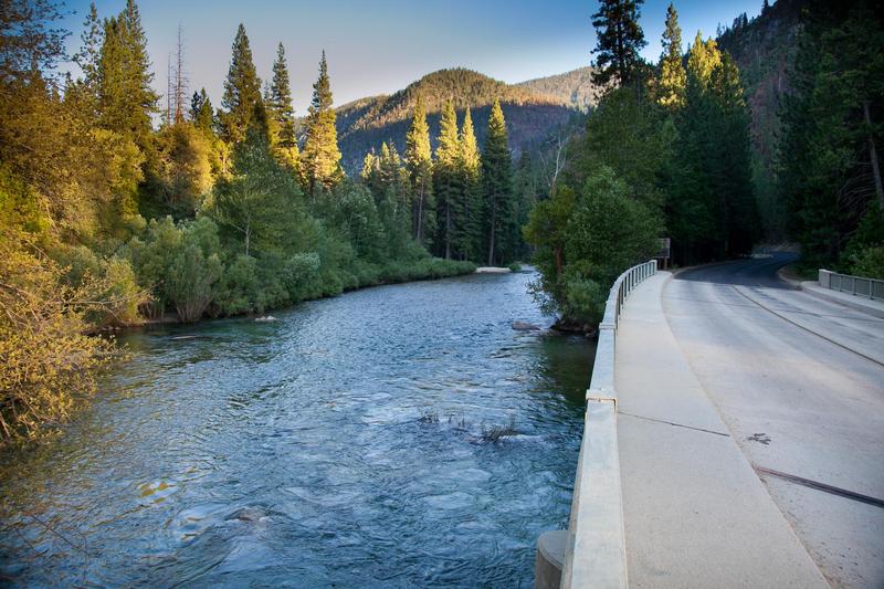
Take Out rapid marks the transition out of the Bubbs Creek section, featuring a complex boulder field that requires precise maneuvering and route selection. Paddlers must carefully navigate tight channels between large rocks, with potential for pin hazards and limited escape routes, especially at lower water levels.
Location
Interactive river map
Loads as you approach this section.
View Full Run
1.5) Bubbs Creek Confluence to Park Boundary
Kings, S. Fork
I-III(V)
9.5 mi
Current Conditions
5-Day Forecast
Whitewater data from
American Whitewater
American Whitewater