Park Boundary Bridge
Save this feature with the run it belongs to.
Gauge Conditions
Runnable: ? – ? CFS
Approximate - nearest available gauge. Use as general reference only.
Data from American Whitewater & USGS
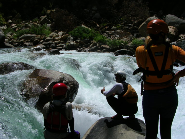
Photo
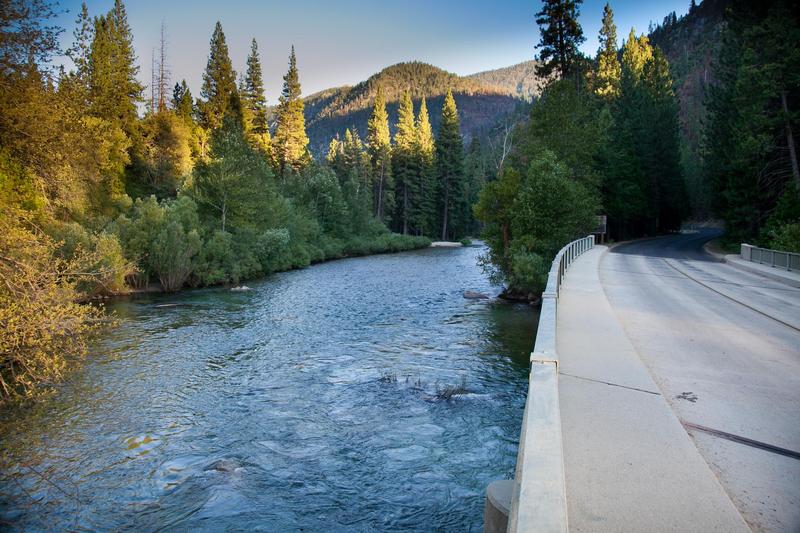
Photo courtesy of American Whitewater
Description
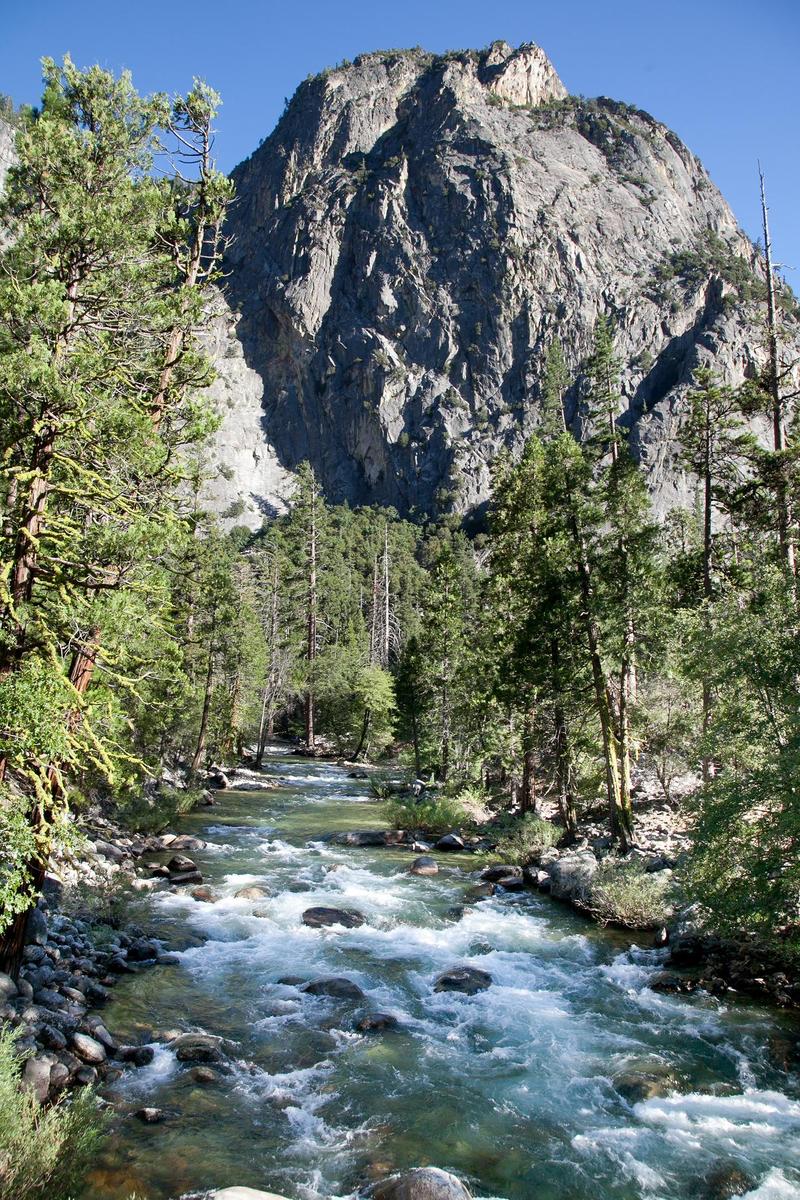
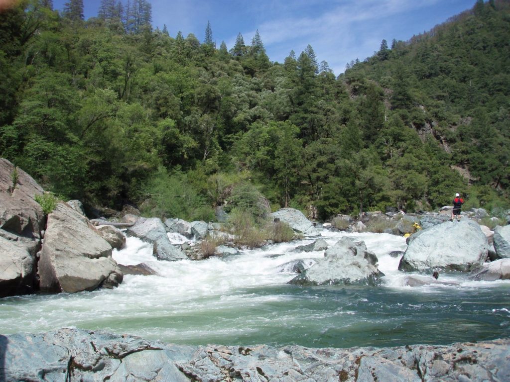
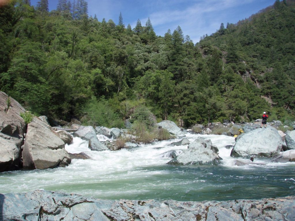
The park boundary is another 6/10ths of a mile downstream, but there are convenient take outs near this bridge. When the river flow drops, this is a popular spot for swimming and picnics. A class 4 rapid starts just at the actual park boundary line.
Location
Interactive river map
Loads as you approach this section.
View Full Run
1.5) Bubbs Creek Confluence to Park Boundary
Kings, S. Fork
I-III(V)
9.5 mi
Current Conditions
5-Day Forecast
Whitewater data from
American Whitewater
American Whitewater