Rapid
WI
Island Rips
Save this feature with the run it belongs to.
Gauge Conditions
Runnable: ? – ? CFS
Approximate - nearest available gauge. Use as general reference only.
Data from American Whitewater & USGS
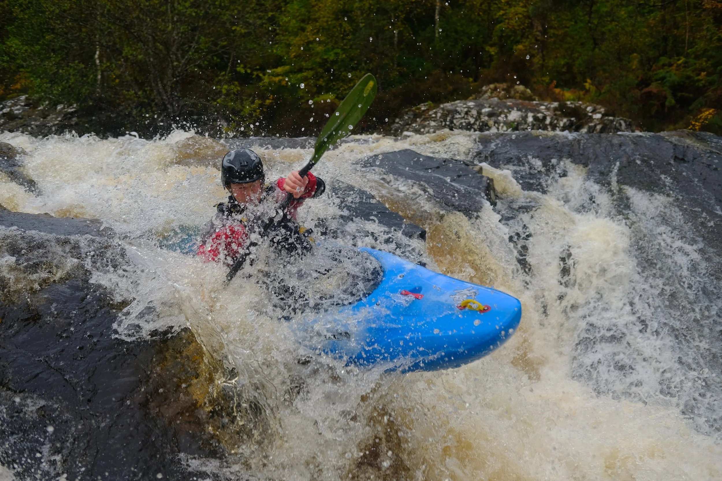
Photo
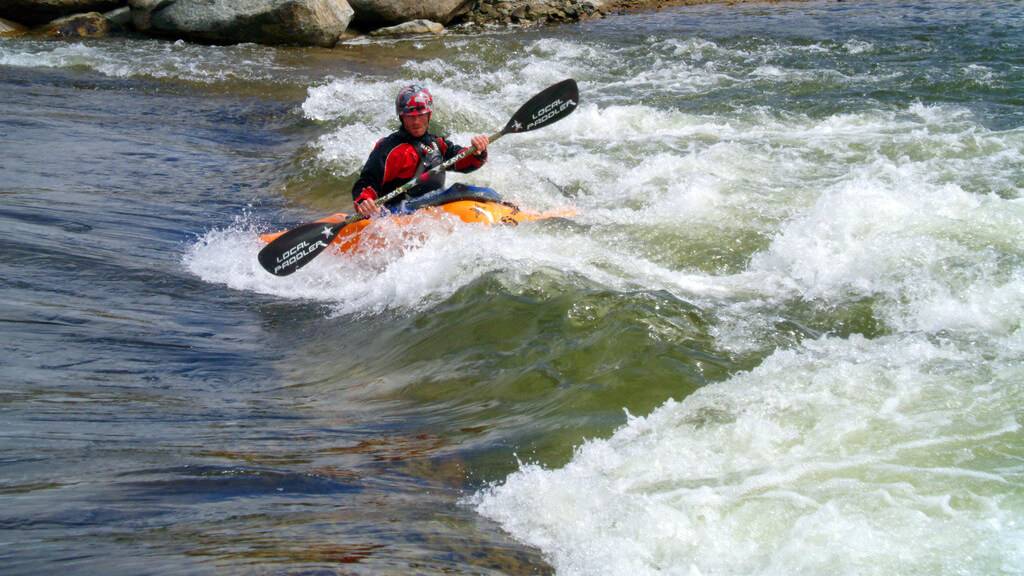
Photo courtesy of American Whitewater
Description
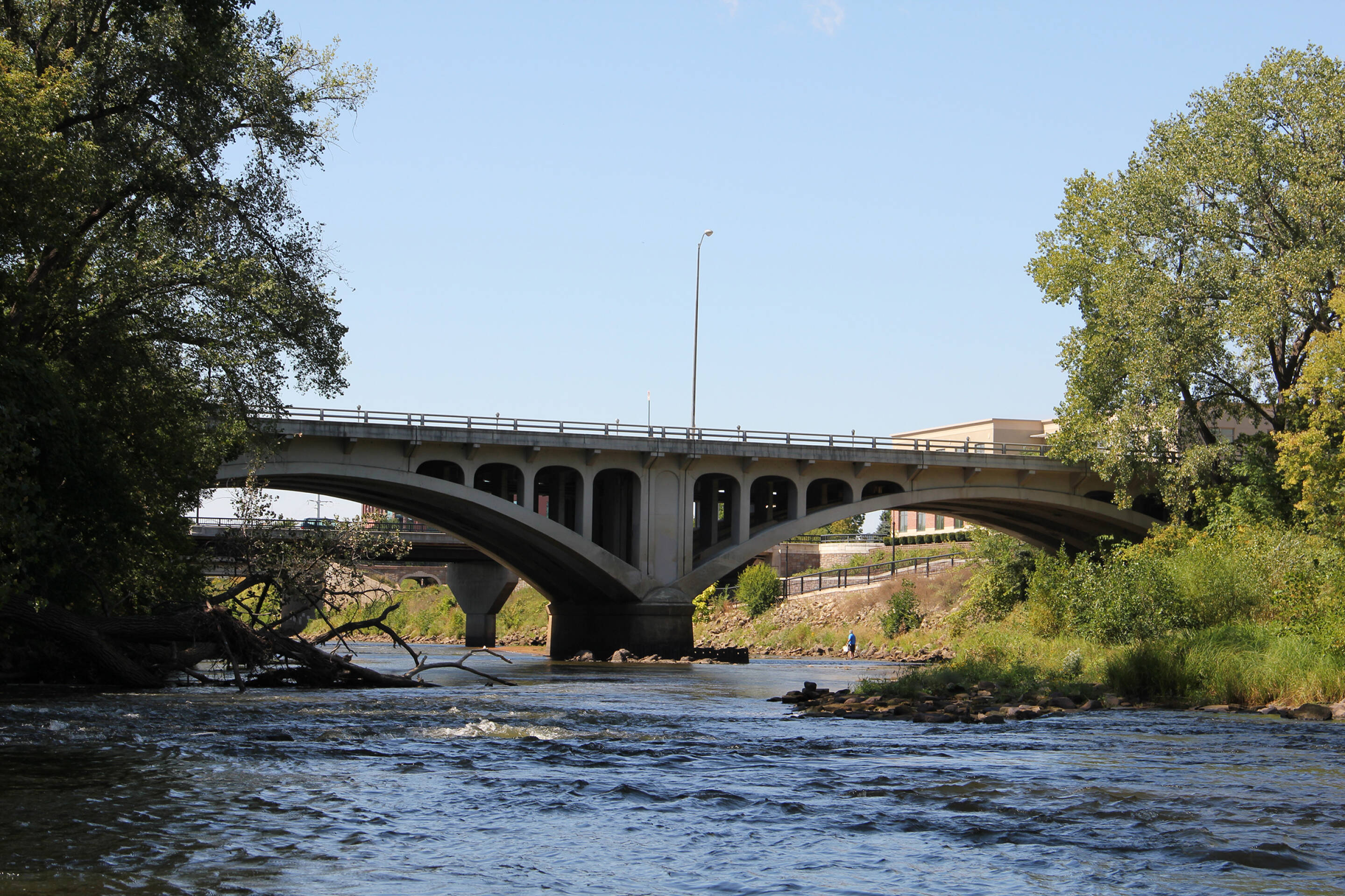
Island Rips presents a complex series of hydraulics split by mid-river boulder clusters, creating multiple technical channels that demand precise boat positioning and reading water. Paddlers should anticipate unpredictable cross-currents and potential pin hazards around the island features, with the main channel requiring careful route selection to avoid potential obstacle traps during varying water levels.
Location
Interactive river map
Loads as you approach this section.
View Full Run
Double-track off Dickerson Ave. to CTH.H (10 miles)
Eau Claire (Chippewa trib.), S.Fk.
I-II
9.5 mi
Current Conditions
5-Day Forecast
Whitewater data from
American Whitewater
American Whitewater