Take-out
WI
Take Out
Save this feature with the run it belongs to.
Gauge Conditions
Runnable: ? – ? CFS
Approximate - nearest available gauge. Use as general reference only.
Data from American Whitewater & USGS
Photo
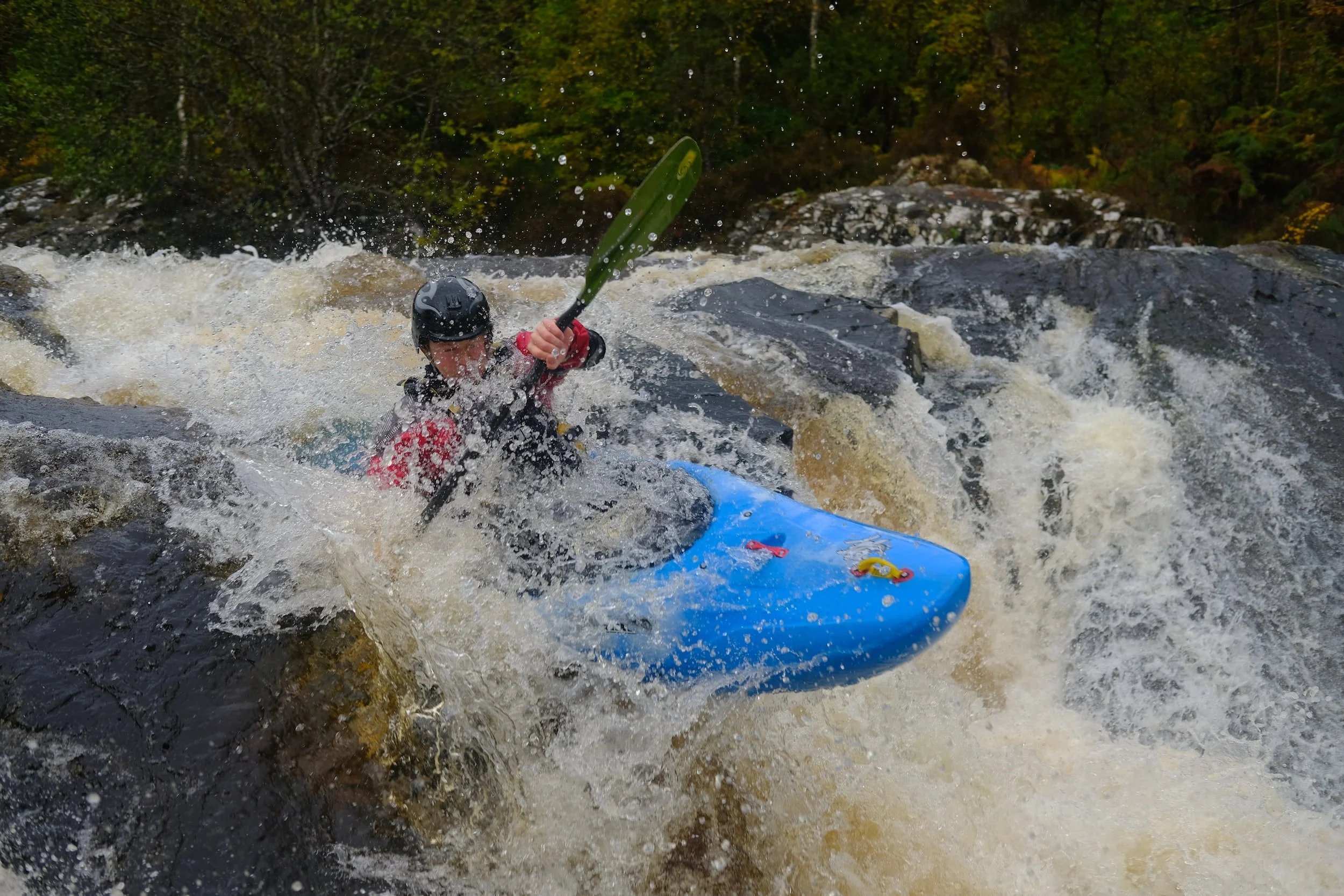
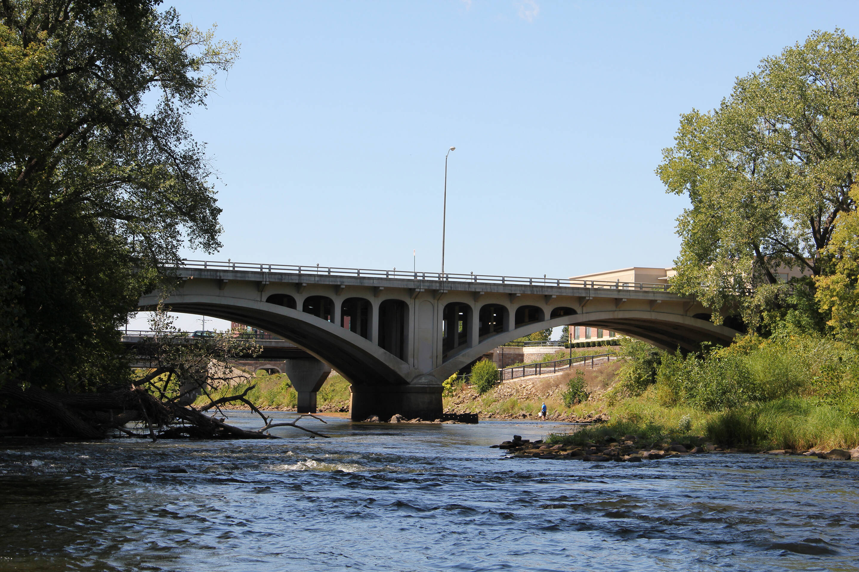
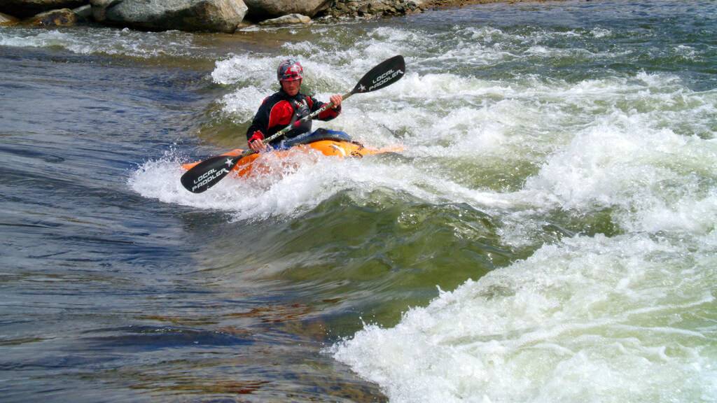
Photo courtesy of American Whitewater
Description
Take Out rapid marks the terminus of this South Fork Eau Claire River segment, characterized by a broad, shallow gradient with scattered boulder fields that demand precise maneuvering. Paddlers should anticipate potential pin hazards and debris accumulation, particularly during lower water conditions, and maintain situational awareness when navigating the final stretch before the takeout point.
Location
Interactive river map
Loads as you approach this section.
View Full Run
Double-track off Dickerson Ave. to CTH.H (10 miles)
Eau Claire (Chippewa trib.), S.Fk.
I-II
9.5 mi
Current Conditions
5-Day Forecast
Whitewater data from
American Whitewater
American Whitewater