Powerline Rips
Save this feature with the run it belongs to.
Gauge Conditions
Runnable: ? – ? CFS
Approximate - nearest available gauge. Use as general reference only.
Data from American Whitewater & USGS
Photo
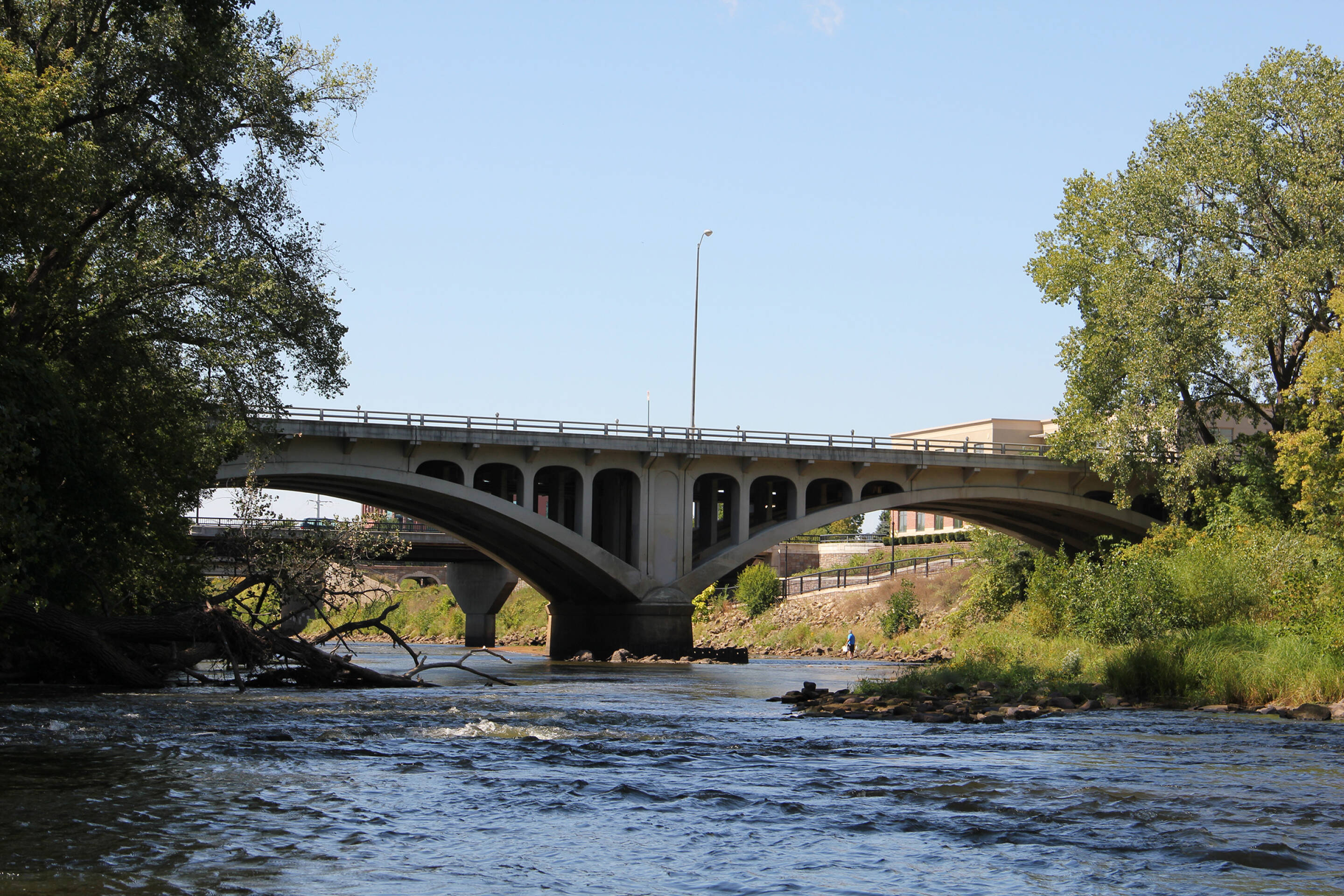
Photo courtesy of American Whitewater
Description
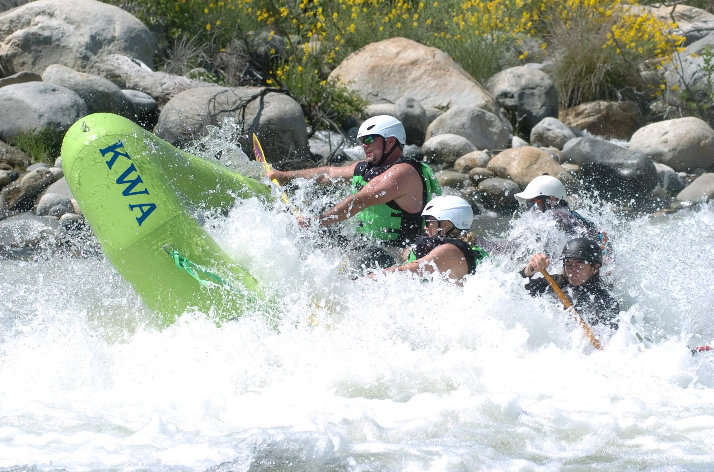
As the river passes approaches (and runs parallel for just a bit) high powerlines, you'll encounter a minor rapids followed by a fine bit of splishy-splash rips.
Location
Interactive river map
Loads as you approach this section.



View Full Run
Double-track off Dickerson Ave. to CTH.H (10 miles)
Eau Claire (Chippewa trib.), S.Fk.
I-II
9.5 mi
Current Conditions
5-Day Forecast
Whitewater data from
American Whitewater
American Whitewater