Islands
Save this feature with the run it belongs to.
Gauge Conditions
Approximate - nearest available gauge. Use as general reference only.
Photo

Description
First off, all which follows is solely via online aerial views. All 'names' listed here (except "Pancake Falls") are really more just descriptors and way-points. Anyone with additional (ideally, first-hand) information is strongly encouraged to "Add a Comment" below, or provide photo(s)/video(s) or other report.
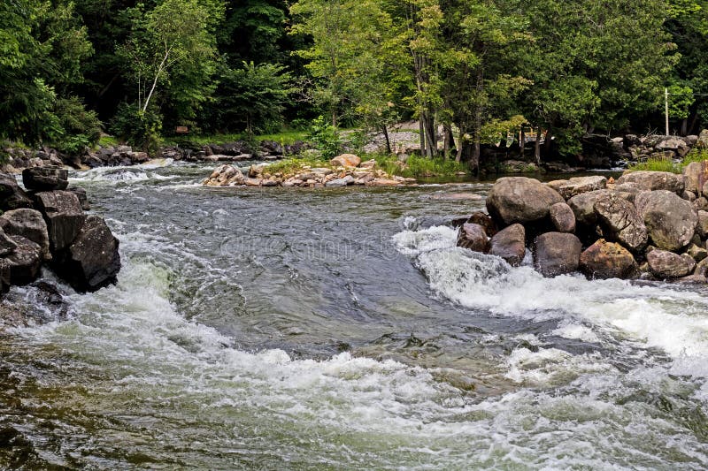
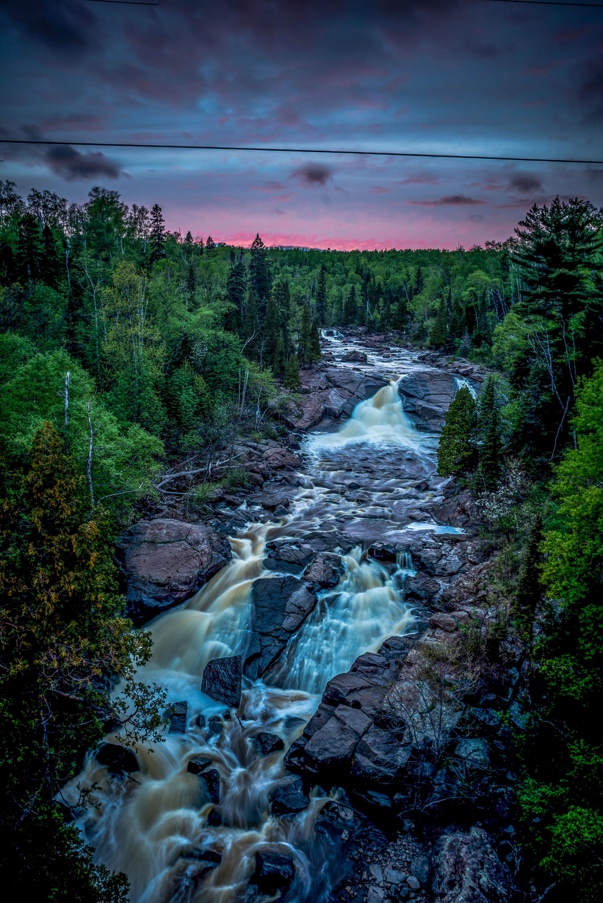
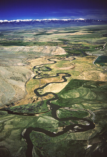
The early going (nearly a half-mile) may be brush bashing or snag-filled portage fest (based solely on aerial view on which it is difficult to see the stream through the foliage). There is at least 25' of drop in this stretch (60-80+FPM), so there may be rapids, or at least swiftwater, which could make any obstructions extremely tricky. At about 0.4 mile, you should break free of the major tree cover for a bit, as the river takes a sharp left bend, and encounters a series of islands. Swiftwater and compression waves may form through some of this area, particularly in the event of high flows.
Location


Current Conditions
5-Day Forecast
American Whitewater