Hazard
MN
Logpile
Save this feature with the run it belongs to.
Gauge Conditions
Runnable: ? – ? CFS
Approximate - nearest available gauge. Use as general reference only.
Data from American Whitewater & USGS
Photo
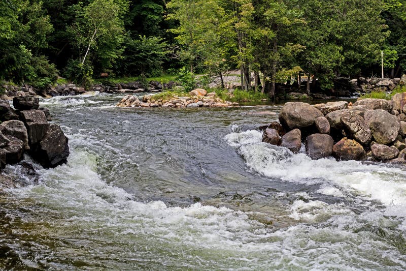
Photo courtesy of American Whitewater
Description
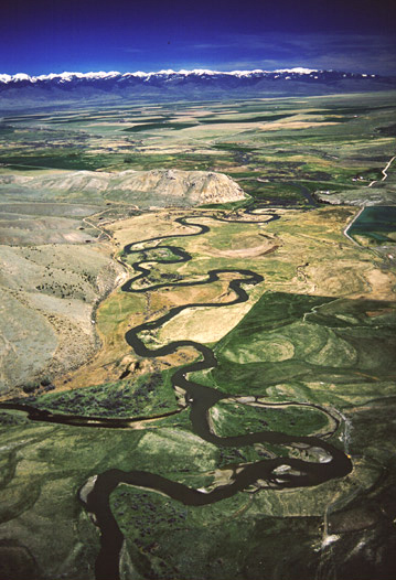
At this point, the river is split into a number of channels by a number of islands. At least as of the date of the aerial views, there is a major accumulation of woody debris at the head of these islands. Proceed with caution to determine if there is safe passage on any water route, but be prepared to portage.
This may act as an early warning for Pancake Falls about a half-mile downriver.
Location
Interactive river map
Loads as you approach this section.



View Full Run
A) Beaver River Road to CR5 (10.85 miles)
Beaver, E.Br.
II-III(IV)
9.6 mi
Hazard — Exercise extreme caution. Portage recommended — scout before running.
Current Conditions
5-Day Forecast
Whitewater data from
American Whitewater
American Whitewater